
What is recorded here
Castle Hill still rises slightly above the pasture north of Milltownpass, though no wall or room remains visible. The field has kept the castle name through centuries of mapping and ownership change. What is gone is easy to picture: a tall house on a small hill, watching the road and fields below. What is missing is the life inside it, the lights at night and the reason it stood guard.
On a natural low hillock in pasture. No surface remains visible of castle site that is located in a field known locally as 'Castle Hill' (SMR File) just N of the village of Milltownpass. Depicted as 'Site of Castle' on the 1837 ed. OS 6-inch map. Marked as 'Site of Old Castle' on the OS Fair Plan parish map of the Pass of Kilbride (SMR File). A tower house type castle at ‘Miltowne’ is depicted on the 1657 Down Survey map of Fartullagh Barony (NLI, MS 723-4). The terrier of the Down Survey parish map of the Pass of Kilbride states that ‘upon Miltowne Stands a Castle’ (ibid.). On this map the lands and castle of Milltown belonged to William Bremingham [Bermingham] an Irish papist and owner of the adjacent townland of Corcloon in 1640. After the Irish Confederate Wars of 1641-53 the forfeited lands of William Bermingham were granted to Nathaniel Micklethwaite who is listed as the Protestant owner of these lands in 1670.
Compiled by: Caimin O'Brien
Date of upload: 24 July 2013
The monument record does not grant public access. Check the route and ask the landowner before entering private land.
- What survives
- Recorded monument
Places near here
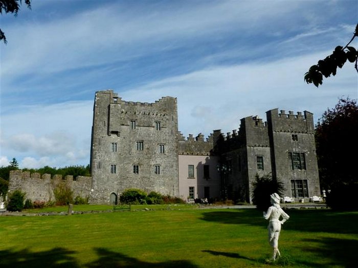 CastleCastle, unclassified · 1153 yd
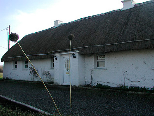 farm housefarm house · 1263 yd
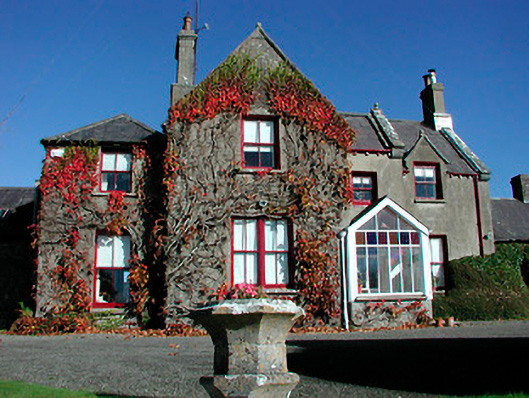 Claremont Housecountry house · 1418 yd
 St. Bridgets WellHoly well · 1508 yd
 Moat of PassCastle, motte · 1561 yd
 Fairy fort / ringfort in Pass OF KilbrideFairy fort / ringfort · 1.5 mi
 Derrygreenagh HillMountain / peak · 3.6 mi
 Knockdrin HillMountain / peak · 3.9 mi
 Roundhill WoodForest · 8.2 mi
 Rahin WoodsForest · 8.5 mi
 milestone/milepostmilestone/milepost · 1425 yd
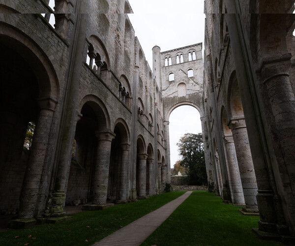 Abbey RuinsChurch · 1463 yd
Other information
Photo: Credit not shown in the picture search · Rights wording not checked; contact us if this picture should be removed