What is recorded here
In pasture, with good views in all directions. Present remains consists of a small rectangular tower (ext. dims. 10.1m NE-SW; 7.25m NW-SE; int. dims. 7.45m NE-SW; 4.7m NW-SE; wall T 1.3m) aligned NE-SW surviving one storey high (H c. 4m), the NE wall of which has collapsed. On the 1837 ed. OS 6-inch map this tower is…
Read the whole record
In pasture, with good views in all directions. Present remains consists of a small rectangular tower (ext. dims. 10.1m NE-SW; 7.25m NW-SE; int. dims. 7.45m NE-SW; 4.7m NW-SE; wall T 1.3m) aligned NE-SW surviving one storey high (H c. 4m), the NE wall of which has collapsed. On the 1837 ed. OS 6-inch map this tower is shown standing on the NW end of an L-shaped building marked as ‘Corcloon Ho.’. This house is not depicted on the revised 1910 ed. OS 25-inch map. Today there are no surface remains visible of the building marked as ‘Corcloon Ho’. The walls of the castle are built with random rubble with a slight base batter visible. The tower is entered through a pointed doorway in the SW wall located off centre to the S, close to the S angle of the castle. The pointed arch of the doorway is constructed with small thin slabs of stone. A large opening in the SE wall may be the remains of a broken out window. There are two openings visible in the NW wall, the opening closes to the N corner is probably due to collapse. A single jambstone visible on the other opening suggest that this feature is a broken out doorway. No castle is depicted in this townland on the 1657 Down Survey map of the parish of the Pass of Kilbride (NLI, MS 723-4). On this map the lands of Corcloon in 1640 belonged to William Bremingham (Bermingham), an Irish papist (ibid.). After the Irish Confederate Wars of 1641-53 the forfeited lands of William Bermingham were granted to Nathaniel Micklethwaite who is listed as the Protestant owner of these lands in 1670.
From the National Monuments Service (Archaeological Survey of Ireland) record WM033-018
Places near here
Photo credits
- National Inventory of Architectural Heritage
- MookiePlays, Wikimedia Commons · CC BY-SA 4.0
- Andreas F. Borchert, Wikimedia Commons · CC BY-SA 4.0
- Malene Thyssen, Wikimedia Commons · CC BY-SA 3.0
- Alvesgaspar, Wikimedia Commons · CC BY-SA 3.0
 milestone/milepost1058 yd
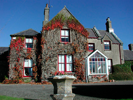 Claremont HouseCountry house · 1311 yd
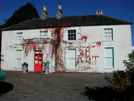 Rathcam HouseHouse · 1526 yd
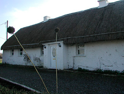 farm house1.2 mi
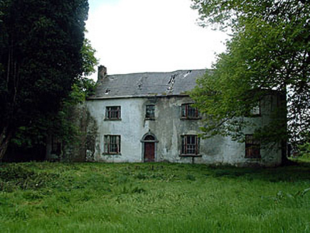 Drumman LodgeHouse · 1.4 mi
 Woodville HouseCountry house · 1.9 mi
 worker's house2.1 mi
 CastleCastle, unclassified · 3.0 mi
 Rattin CastleCastle, tower house · 3.7 mi
 Font (present location) in TowlaghtFont (present location) · 9.9 mi
 European Beech14 mi
 Common Lime14 mi
More castles and forts in County Westmeath · All of County Westmeath

What do you know about this place?Tap to add a comment or ask a question