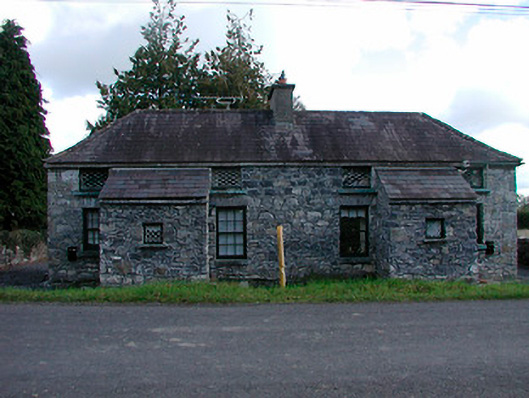
What is recorded here
A pair of three-bay single-storey former estate worker’s houses associated with Gaybrook House (now demolished), built c.1810, each with a central single-bay entrance porch to the centre of the main façade (west). Now renovated and in use as private houses. Hipped natural slate roof with projecting cut stone eaves course and a central, shared, rendered chimneystack. Random rubble limestone walls, probably originally rendered, with square-headed openings having replacement timber sash windows to ground floor openings and with lattice windows over to first floor openings, in style of original fenestration. Square-headed doorway with roughly dressed voussoirs and timber boarded doors to the south face of both porches. Road-fronted to the east of the site of Gaybrook House and to the southeast of Mullingar.
Recently renovated, these former estate worker’s houses retain much of their early form and character. These structures were originally built to serve the Gaybrook House Demesne (now demolished) and are two of a number of similar structures in this area. Although not identical to the other former worker’s houses in the area, they share the same form and fenestration pattern as found at the ruinous structures to the northwest (15402634) and to the south (15402639). Gaybrook House itself, a three-storey block over basement built by Ralph Smyth in 1790, was demolished by the Land Commission c.1960 and these structures now acts as an historical reminder of this once great demesne and of the workers who served it. The lattice windows are a notable feature but the extent of the renovations diminishes the architectural character of these structures. Although now renovated these buildings are an addition to the architectural heritage of the area and add to the historic nature of the local area.
This does not grant access. Most recorded buildings are privately owned; view them only from public ground unless the owner allows entry.
Places near here
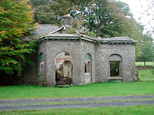 Gaybrook Housegate lodge · 252 yd
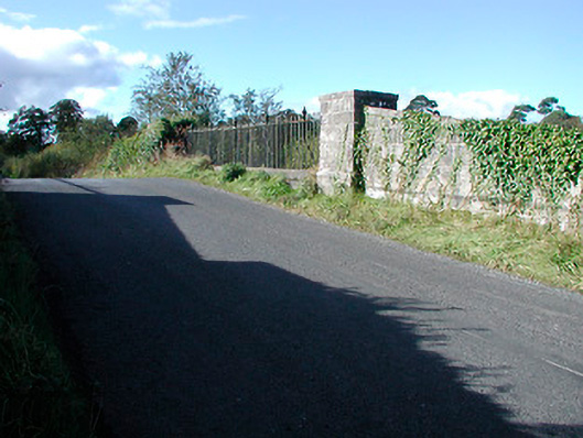 bridgebridge · 784 yd
 Hut site in Corbally (fartullagh By.)Hut site · 846 yd
 Fulacht fia in Corbally (fartullagh By.)Fulacht fia · 1098 yd
 Bawn in Simonstown (fartullagh By.)Bawn · 1.4 mi
 Castle in RuinsCastle, tower house · 1.6 mi
 Dysart IslandIsland · 4.9 mi
 United Nations War MemorialMemorial · 5.4 mi
 Roundhill WoodForest · 11 mi
 IndicatedFairy fort / earthen ringfort · 1149 yd
 Partially hachuredFairy fort / earthen ringfort · 1164 yd
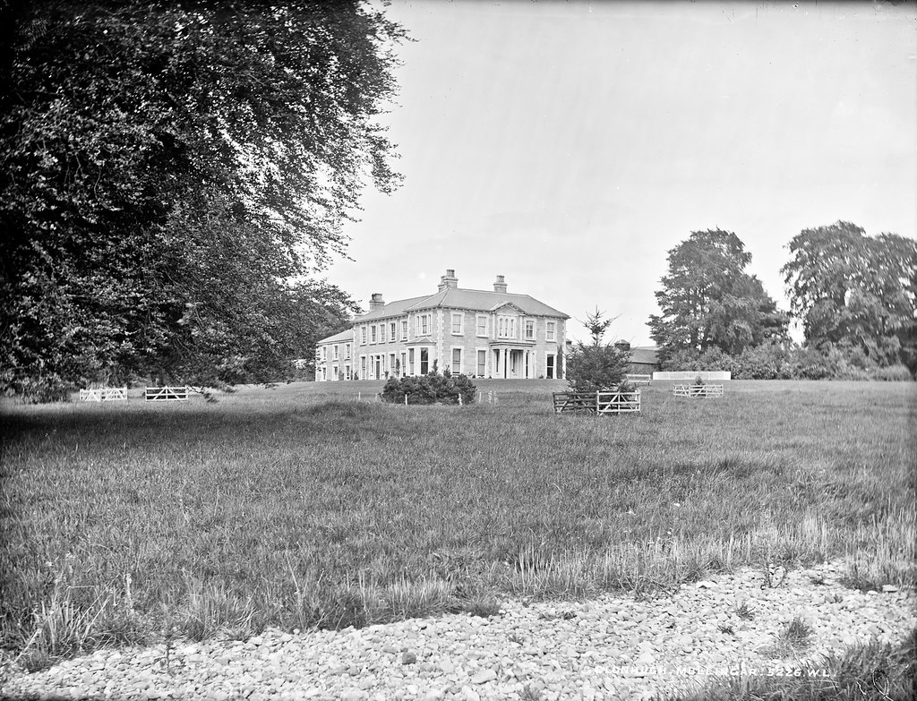 Partially indicatedEnclosure · 1462 yd
Other information
Photo: National Inventory of Architectural Heritage · Website use allowed for educational or private purposes with source credit