
What is recorded here
Situated at the base of a W-facing slope of a low ridge, in wet pasture. Ringfort (WM026-070----) lies c. 90m to NW. Monument described in 1982 as a small mound of earth and burnt stones. The mound (diam. 5m; H 0.5-0.6m) is roughly U-shaped, with a depression to the W, which probably represents the trough. There is a lot of disturbance in the sides of the mound which have exposed large quantities of burnt stone, yet no bone or any other identifiable remains. Monument is visible on Digital Globe aerial photography as a small subcircular-shaped mound.
Compiled by Alison McQueen, Vera Rahilly and Caimin O’Brien.
Date of upload: 02 October 2019
The monument record does not grant public access. Check the route and ask the landowner before entering private land.
- What survives
- Recorded monument
Places near here
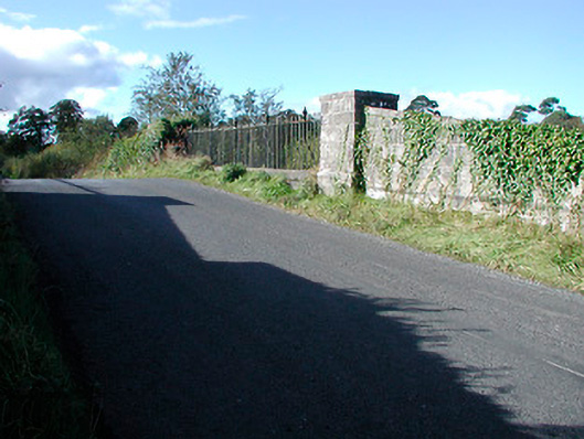 bridgebridge · 348 yd
 Hut site in Corbally (fartullagh By.)Hut site · 417 yd
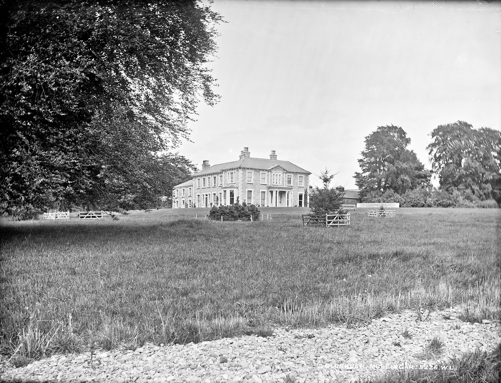 Partially indicatedEnclosure · 560 yd
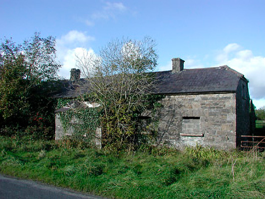 worker's houseworker's house · 737 yd
 Castle in RuinsCastle, tower house · 1.2 mi
 CastleCastle, tower house · 1.3 mi
 Dysart IslandIsland · 4.5 mi
 Ash IslandIslet · 4.5 mi
 United Nations War MemorialMemorial · 4.8 mi
 Roundhill WoodForest · 11 mi
 Partially hachuredFairy fort / earthen ringfort · 689 yd
 Ecclesiastical enclosure in CatherinestownEcclesiastical enclosure · 821 yd
Other information
Photo: Credit not shown in the picture search · Rights wording not checked; contact us if this picture should be removed