
What is recorded here
‘Catherinstowne’ Castle depicted as a rectangular type tower house standing on a low rise of ground on the 1657 Down Survey map of Fartullagh barony. On this map the castle is depicted standing in the N quadrant of the townland a short distance south of the southern boundary of the townland of Rahardelin [Ardillon] where the townland boundary forms a U-shaped bend close to a ringfort (WM026-033----) (NLI, MS 723-4). The terrier of the 1657 Down Survey parish map of Lynn recorded that ‘upon Catherinstowne stands a Castle’. In 1641 this castle stood on lands belonging to Thomas Tirrell who is listed in the Down Survey as an ‘Irish Papist’. A group of buildings depicted on the 1838 ed. OS 6-inch map to the N of a ringfort (WM026-033----) could be the site of the castle. Medieval castle site incorrectly listed in the Westmeath RMP as WM026-035----. The R. C. Church at Gainestown which contains Lynn Font (WM026-106---) was reputedly built with stones taken from Catherinestown Castle in 1853.
Compiled by: Caimin O'Brien
Date of upload: 23 January 2018
The monument record does not grant public access. Check the route and ask the landowner before entering private land.
- What survives
- Recorded monument
Places near here
 Hut site in CatherinestownHut site · 631 yd
 Partially hachuredFairy fort / earthen ringfort · 751 yd
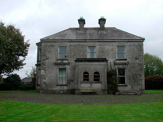 Russellstown Housecountry house · 1123 yd
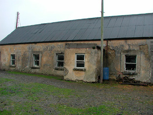 farm housefarm house · 1316 yd
 Boardstown Castle (in Ruins)Castle, tower house · 1.4 mi
 Castle in RuinsCastle, tower house · 2.1 mi
 Famine MemorialMemorial · 2.7 mi
 United Nations War MemorialMemorial · 3.6 mi
 Saint Brigid's WellSpring · 4.4 mi
 Ash IslandIslet · 4.6 mi
 Dysart IslandIsland · 4.6 mi
 Lady's IslandWood · 5.4 mi
Other information
Photo: Credit not shown in the picture search · Rights wording not checked; contact us if this picture should be removed