What is recorded here
Castle ruins on SW angle of Tyrrellstown House which forms SW corner of the farmyard quadrangle as depicted on the OS 25-inch map. A castle is shown in Tyrrellstown on the Down Survey barony map of Fartullagh, although it is not shown on the Parish Map and is not mentioned in the Terrier (NLI, MS 723-4). Monument described in 1976 as a portion of a castle which is now incorporated into the structure of the present Tyrrellstown House. It appears to form a projecting wing of the house in the form of a small ancient turret or tower. The walls (T 1.5m) are constructed of rubble stone and contain a small, narrow doorway. The site is now ruinous and there are no clear indications of any further early walls. A broken rectangular-shaped stone basin or trough rests on a nearby garden wall and may be associated with the monument. According to a second report from 1976 all that remains is a short stretch of wall (L 3m; H 6m) running S from the SW corner of Tyrrellstown House. The rest was apparently removed some years ago. There are no further features visible.
Castle ruins on SW angle of Tyrrellstown House which forms SW corner of the farmyard quadrangle as depicted on the OS 25-inch map. A castle is shown in Tyrrellstown on the Down Survey barony map of Fartullagh, although it is not shown on the Parish Map and is not mentioned in the Terrier (NLI, MS 723-4). Monument described in 1976 as a portion of a castle which is now incorporated into the structure of the…
From the National Monuments Service (Archaeological Survey of Ireland) record WM026-067
The monument record does not grant public access. Check the route and ask the landowner before entering private land.
- What survives
- Recorded monument
Places near here
Photo credits
- National Inventory of Architectural Heritage
- Liam Hughes from Milwaukee, WI, USA, Wikimedia Commons · CC BY 2.0
- MookiePlays, Wikimedia Commons · CC BY-SA 4.0
- Kieran Campbell, Geograph · Creative Commons Attribution-ShareAlike 2.0
- EecherplazGinkgo06.jpg : Cayambe derivative work: Ginkgotree ( talk ), Wikimedia Commons · CC BY-SA 3.0
- kevin higgins, Wikimedia Commons · CC BY-SA 2.0
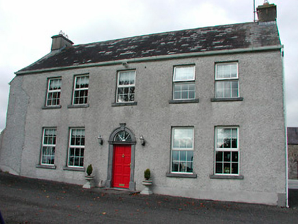 Tyrrellstown HouseFarm house, outbuilding · 11 yd
 Anneville HouseFarmyard complex · 964 yd
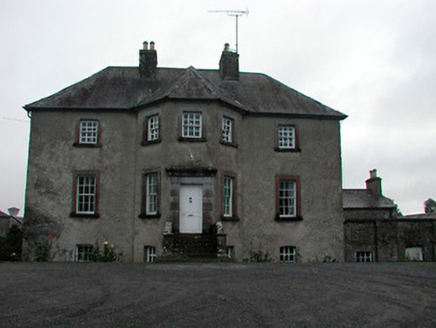 Anneville HouseCountry house · 967 yd
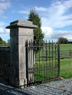 Gaybrook HouseDemesne walls/gates/railings · 1070 yd
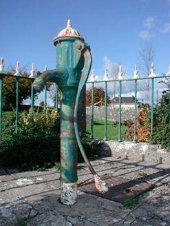 water pump1083 yd
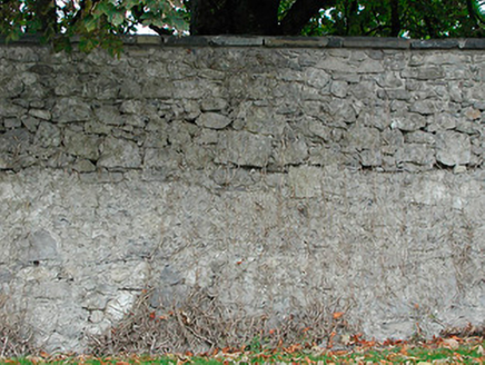 Dunboden ParkGates/railings/walls · 1363 yd
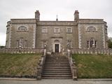 Belvedere house and gardensVisitor information · 1.7 mi
 CastleCastle, unclassified · 3.1 mi
 Rattin CastleCastle, tower house · 6.7 mi
 Fairy fort / earthen ringfort in ReynellaFairy fort / earthen ringfort · 9.8 mi
 Ginkgo10 mi
 St. Columbkilles CrossCross, High cross · 12 mi
More castles and forts in County Westmeath · All of County Westmeath
What do you know about this place?