
What is recorded here
Situated on top of a prominent hill (423ft/129m OD), in pasture, with excellent views in all directions. Depicted on the 1840 ed. OS 6-inch map as a D-shaped earthwork. Monument described in 1971 as a modified roughly D-shaped area (dims. 40m NW-SE; 39.5m NE-SW) enclosed by a bank and external fosse. A substantial earthen bank is visible along the straight side to W and where it is curvilinear from NW-N-E. Elsewhere, the bank has been removed and or modified to form part of a modern earthen field fence running roughly NE-SW. There is a curve in the field fence where it extends between the present ends of the ringfort bank. This may indicate that the later boundary marks the site of the monument perimeter from E-S-SW and confirming that this earthwork was originally D-shaped. There are several slight disturbance gaps including a gap at SW and at E between the end of the bank and the earthen field fence. A gap (Wth at top 4.6m; basal Wth 2.5m) at NE may represent the original entrance feature but this is inconclusive. There are very vague suggestions of an external fosse at the base of the bank from NNW-N-E. A long scarp running NNW-SSE comes within 1.5m of the base of the bank at E and then curves along outside the bank to SW, forming a deep fosse. The long scarp has a very slight earthen bank on its upper edge. It is not possible to conclude if this is contemporary with the ringfort. Some stones protrude from the surface of the interior, although there are no recognisable features.
See attached profile surveyed and drawn by the ASI.
Compiled by Alison McQueen, Vera Rahilly and Caimin O’Brien.
Date of upload: 30 September 2019
This remains an important historical record, but the official description says the monument is no longer visible or has been destroyed. The monument record does not grant public access. Check the route and ask the landowner before entering private land.
- What survives
- No visible remains or recorded as destroyed
Places near here
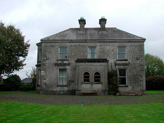 Russellstown Housecountry house · 378 yd
 OutlinedFairy fort / ringfort · 438 yd
 CastleCastle, tower house · 751 yd
 Hut site in CatherinestownHut site · 1368 yd
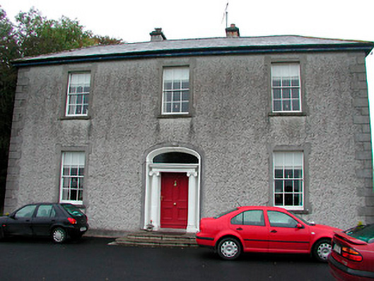 Clonmoyle Househouse · 1.1 mi
 Boardstown Castle (in Ruins)Castle, tower house · 1.1 mi
 Augustinian Monks Memorial StatueMemorial · 2.3 mi
 The Chimera GalleryGallery · 2.4 mi
 Famine MemorialMemorial · 2.4 mi
 Saint Brigid's WellSpring · 4.0 mi
 Ash IslandIslet · 4.8 mi
 Dysart IslandIsland · 4.9 mi
Other information
Photo: Credit not shown in the picture search · Rights wording not checked; contact us if this picture should be removed