What is recorded here
Situated on a slight rise, in gently undulating pasture, with good views in all directions. Depicted on the revised 1913 ed. OS 25-inch map as a roughly oval-shaped area cut by a townland boundary running ENE-WSW across the N sector. Fulacht fiadh (WM026-071----) lies c. 90m to SE. Bivallate monument described as an oval-shaped area (dims. 38m N-S; 44m E-W) enclosed by an inner bank, an intervening fosse and an outer bank. The monument is divided by a field bank which forms the townland boundary running ENE-WSW across the N sector. The bank is high and steep on the exterior and is almost reduced to a scarp. The bank is best preserved from NNE-ENE and it has traces of internal stone facing at ESE. The bank has been modified from SSW-SW-W to form part of a linear field boundary running NNW-SSE and it is also badly denuded from N-NNE, where there may have been an entrance. It appears to have been steepened from WNW-NW-N in modern times and has small disturbance gaps at SE, S and SSW. The wide fosse is best preserved from NNE-ENE and is not visible from SSW-SW-W where the bank has been straightened or from WNW-NW-N where the bank has been steepened. A very low and faint outer bank is visible from N-NE and E-ESE. The interior rises gently from the perimeter towards the centre and is divided by the aforementioned field boundary running ENE-WSW across the N sector, which is further divided by a wire fence running N-S. The remains of a house site (WM026-070001-) are visible in the SW quadrant.
Compiled by Alison McQueen, Vera Rahilly and Caimin O’Brien.
Date of upload: 02 October 2019
The monument record does not grant public access. Check the route and ask the landowner before entering private land.
- What survives
- Recorded monument
Places near here
 Fulacht fia in Corbally (fartullagh By.)Fulacht fia · 133 yd
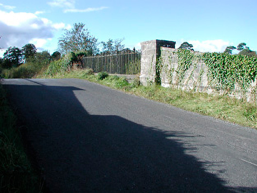 bridgebridge · 466 yd
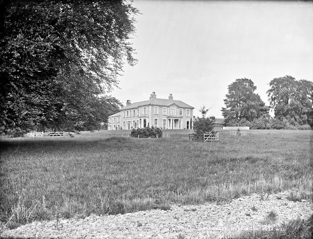 Partially indicatedEnclosure · 485 yd
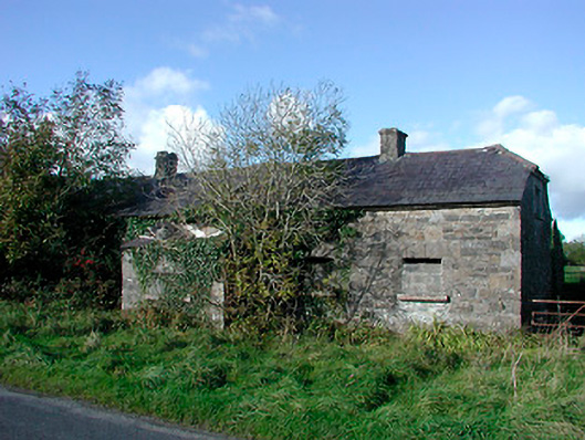 worker's houseworker's house · 676 yd
 Castle in RuinsCastle, tower house · 1.2 mi
 CastleCastle, tower house · 1.2 mi
 Dysart IslandIsland · 4.4 mi
 Ash IslandIslet · 4.5 mi
 United Nations War MemorialMemorial · 4.8 mi
 Roundhill WoodForest · 11 mi
 Hut site in Corbally (fartullagh By.)Hut site · 533 yd
 Partially hachuredFairy fort / earthen ringfort · 749 yd