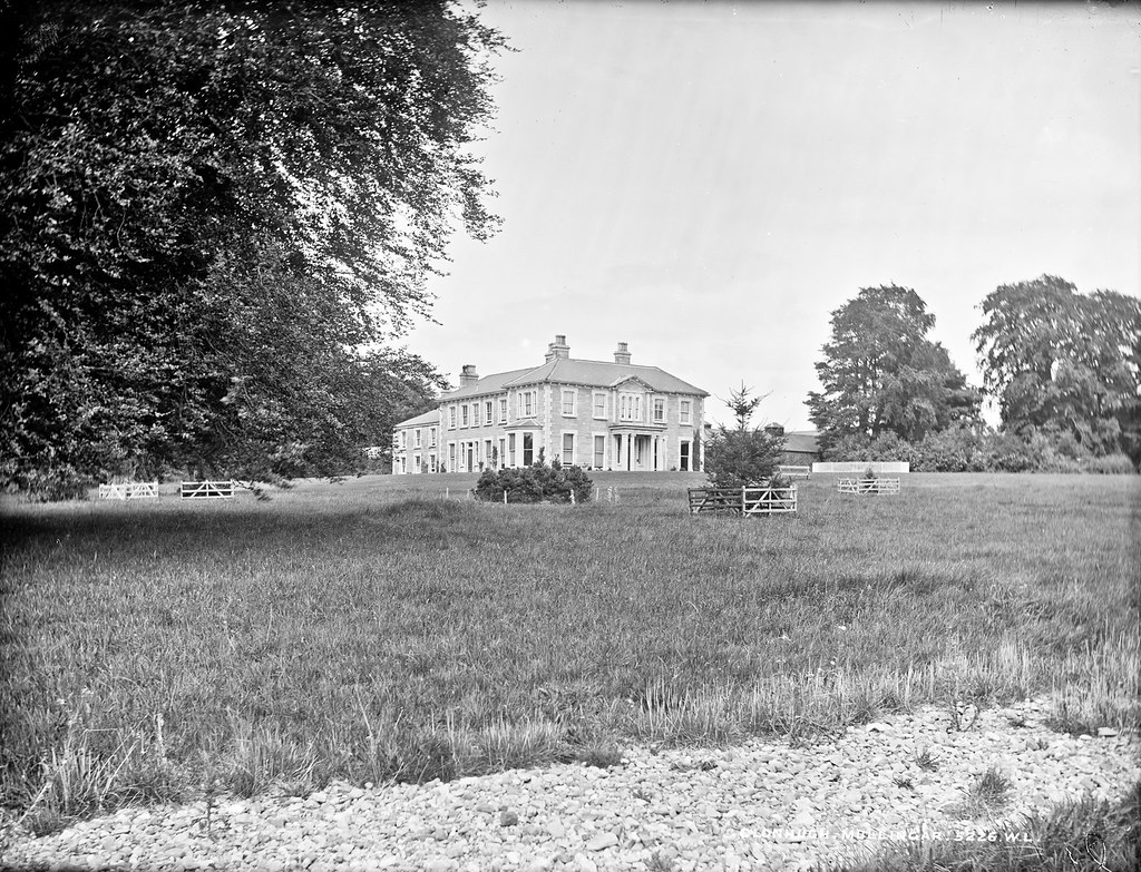
What is recorded here
In pasture. Depicted as a circular-shaped area (approx. diam. 15m) on the 1840 ed. OS 6-inch map. Area of monument depicted on the revised 1913 ed. OS 25-inch map as a large semi-circular-shaped feature, annotated ‘Gravel Pit’. Monument described in 1978 as no surface remains visible. The area has recently been levelled and there is no trace of the enclosure or the quarry. Monument is not visible on Digital Globe aerial photography.
Compiled by Alison McQueen, Vera Rahilly and Caimin O’Brien.
Date of upload: 02 October 2019
A local fairy fort (ringfort/rath); wider significance not recorded.
This remains an important historical record, but the official description says the monument is no longer visible or has been destroyed. The monument record does not grant public access. Check the route and ask the landowner before entering private land.
- What survives
- No visible remains or recorded as destroyed
Places near here
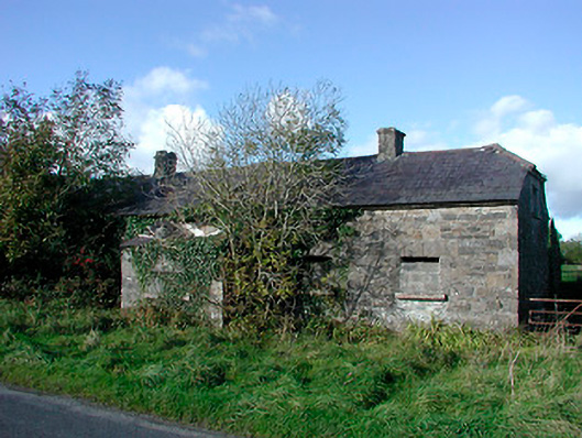 worker's houseworker's house · 199 yd
 Fulacht fia in Corbally (fartullagh By.)Fulacht fia · 560 yd
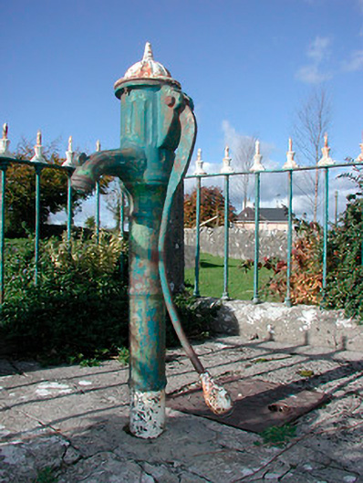 water pumpwater pump · 607 yd
 Hut site in Corbally (fartullagh By.)Hut site · 967 yd
 Castle in RuinsCastle, tower house · 1638 yd
 Bawn in Simonstown (fartullagh By.)Bawn · 1.1 mi
 Dysart IslandIsland · 4.2 mi
 Ash IslandIslet · 4.2 mi
 United Nations War MemorialMemorial · 4.8 mi
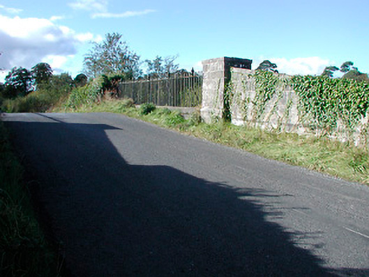 bridgebridge · 704 yd
 Enclosure in Anneville or RathduffEnclosure · 1093 yd
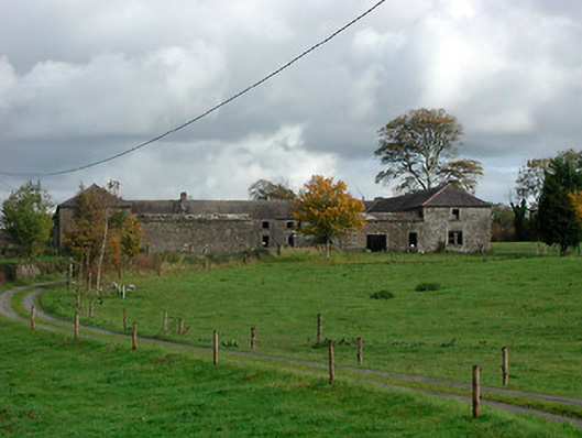 Gaybrook Housefarmyard complex · 1103 yd
Other information
Photo: Credit not shown in the picture search · Rights wording not checked; contact us if this picture should be removed