What is recorded here
The remains of a roughly-circular tree-lined enclosure which could be the remains of a possible ringfort are visible on OSI 2005 aerial photograph (pers. comm. C. McCormack). Depicted as a rectangular shaped-area of waste land on the 1837 ed. OS 6-inch map. Depicted as a small natural hillock on the 1910 ed. OS 6-inch map. This enclosure may be a ringfort, alternatively it may be the remains of a small circular field of post medieval date which encloses a small natural hillock that was fenced off by landowner in the 19th century. Not depicted as an antiquity on any edition of the OS 6-inch maps.
The remains of a roughly-circular tree-lined enclosure which could be the remains of a possible ringfort are visible on OSI 2005 aerial photograph (pers. comm. C. McCormack). Depicted as a rectangular shaped-area of waste land on the 1837 ed. OS 6-inch map. Depicted as a small natural hillock on the 1910 ed. OS 6-inch map. This enclosure may be a ringfort, alternatively it may be the remains of a small circular…
From the National Monuments Service (Archaeological Survey of Ireland) record WM026-110
The monument record does not grant public access. Check the route and ask the landowner before entering private land.
- What survives
- Recorded monument
Places near here
Photo credits
- National Inventory of Architectural Heritage
- MookiePlays, Wikimedia Commons · CC BY-SA 4.0
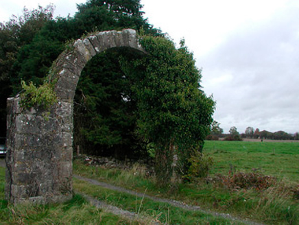 Violetstown HouseFarmyard complex · 479 yd
 Gaybrook HouseDemesne walls/gates/railings · 1080 yd
 Gaybrook HouseGate lodge · 1093 yd
 worker's house1149 yd
 bridge1248 yd
 Woodville HouseCountry house · 1513 yd
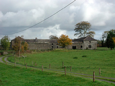 Gaybrook HouseFarmyard complex · 1622 yd
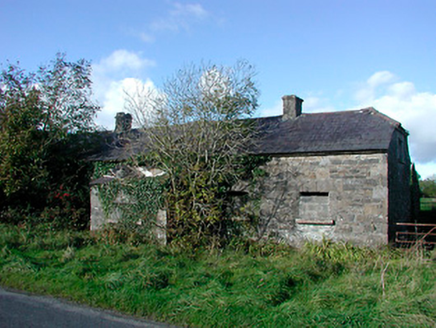 worker's house1.1 mi
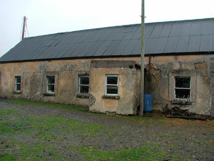 farm house1.4 mi
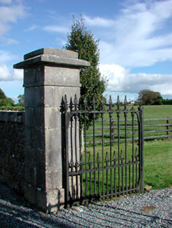 Gaybrook HouseDemesne walls/gates/railings · 1.4 mi
 CastleCastle, unclassified · 4.1 mi
 Rattin CastleCastle, tower house · 5.3 mi
More archaeology and monuments in County Westmeath · All of County Westmeath
What do you know about this place?