
What is recorded here
On flat poorly drained land with abbey church (WM034-002001-), graveyard (WM034-002003-) to the S and the Moat of Pass (WM034-003----) 140m to the SSE. Disused well consisting of an oval-shaped dried up hollow (dims. 3.8m E-W; 3m N-S; D 0.7-1m) with old U-shaped water channel (top Wth 1.9m; base Wth 0.5m; D 0.3m; L 40m) running out of hollow at N. No evidence of any enclosing element around the well or of any votive offerings.
Compiled by: Caimin O’Brien
Date of upload: 26 July 2013
Linked to St. Brigid, a major figure in Irish Christianity, the well is associated with healing and fertility traditions. Locally, it may have been visited for blessings or to seek cures, particularly for women's health, reflecting the saint’s widespread veneration in early Irish monastic and folk traditions.
The monument record does not grant public access. Check the route and ask the landowner before entering private land.
- What survives
- Recorded monument
Places near here
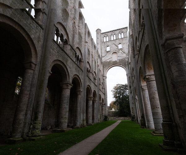 Abbey RuinsChurch · 90 yd
 Moat of PassCastle, motte · 154 yd
 Fairy fort / ringfort in Pass OF KilbrideFairy fort / ringfort · 1164 yd
 Site of CastleCastle, unclassified · 1508 yd
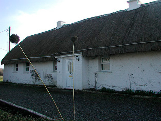 farm housefarm house · 1.1 mi
 Enclosure in Hightown or BalloughterEnclosure · 2.2 mi
 Derrygreenagh HillMountain / peak · 4.1 mi
 Knockdrin HillMountain / peak · 4.1 mi
 Roundhill WoodForest · 7.6 mi
 Rahin WoodsForest · 7.9 mi
 Croppies' GraveMemorial · 9.3 mi
 Allen family memorial headstoneMemorial · 13 mi
Other information
Photo: Credit not shown in the picture search · Rights wording not checked; contact us if this picture should be removed