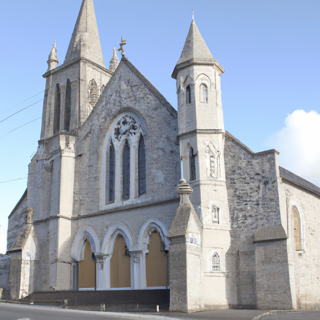
What is recorded here
Polygonal shaped graveyard (WM026-100003-) enclosed by a post medieval stone wall with levelled 19th century Church of Ireland building located in N quadrant of graveyard. The ruins of Enniscoffey House are located 180m to ENE. In 1976 the levelled church site was described as following; ‘The church marked on the 1911 OS revision as standing has been completely demolished and only the grass-covered outline, with depression within now remains. It appears to have been a rather large estate church’ (SMR file 12/03/1976). There is no evidence to suggest that there was a medieval church inside this graveyard. In 1810 it was recorded that there was no church in the parish of Enniscoffey (Carlisle 1810). The Church of Ireland building was built in 1819 with a gift of £900 from the Board of First Fruits (Lewis 1837, 602). No church building or glebe land is depicted on the 1656-9 Down Survey map of Enniscoffey parish (NLI MS 723-4).
Compiled by: Caimin O’Brien
Date of upload: 24 August 2015
The monument record does not grant public access. Check the route and ask the landowner before entering private land.
- What survives
- Recorded monument
Places near here
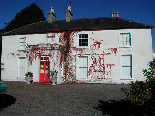 Rathcam Househouse · 485 yd
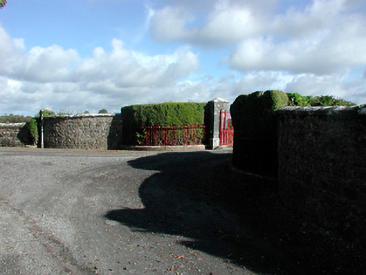 Claremont Housegates/railings/walls · 685 yd
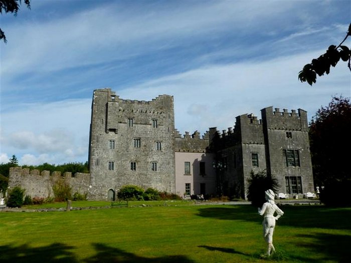 CastleCastle, unclassified · 1.0 mi
 Site of CastleCastle, unclassified · 1.4 mi
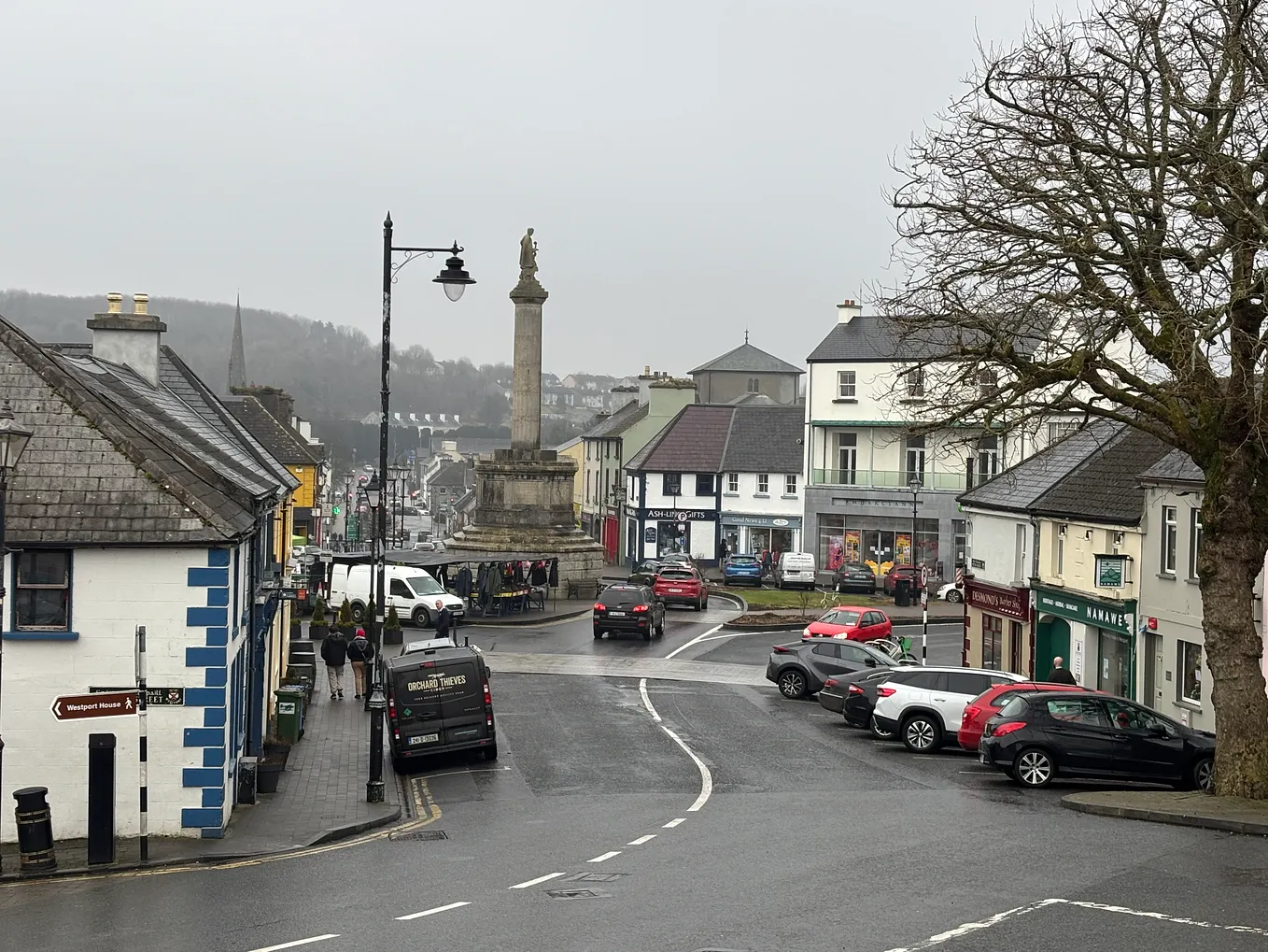 Not idnicatedFairy fort / earthen ringfort · 1.4 mi
 IndicatedFairy fort / earthen ringfort · 1.5 mi
 Derrygreenagh HillMountain / peak · 4.8 mi
 Moat HillMountain / peak · 5.7 mi
 Roundhill WoodForest · 9.5 mi
 Rahin WoodsForest · 9.7 mi
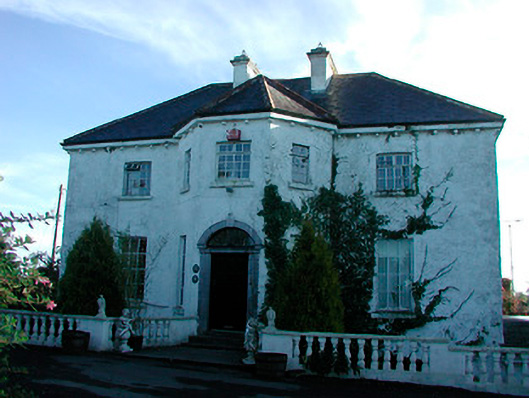 Woodville Housecountry house · 1634 yd
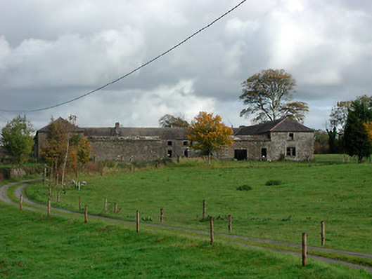 Gaybrook Housefarmyard complex · 1.5 mi
Other information
Photo: Credit not shown in the picture search · Rights wording not checked; contact us if this picture should be removed