What is recorded here
Situated on an elevated area, in pasture, with extensive views to N. Annotated ‘fort’ on the 1837 OS Fair Plan map and depicted as a circular-shaped earthwork. Depicted on the 1837 OS 6-inch map as a circular-shaped tree-planted earthwork. Levelled monument described in 1977 as the barely visible remains of a roughly circular-shaped area (dims. 28m E-W) defined by faint indications of a levelled bank from ENE-E-ESE and signs of a fosse from WSW-W-WNW. A modern field fence running E-W lies c. 15m to N and another field fence running N-S lies c. 25m to W. Monument is visible today as a roughly circular-shaped cropmark on OSi aerial photography.
Compiled by Alison McQueen, Vera Rahilly and Caimin O’Brien.
Date of upload: 02 October 2019
A local fairy fort (ringfort/rath); wider significance not recorded.
The monument record does not grant public access. Check the route and ask the landowner before entering private land.
- What survives
- Recorded monument
Places near here
 Penal Mass station in VilanstownPenal Mass station · 391 yd
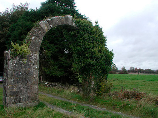 Violetstown Housefarmyard complex · 404 yd
 IndicatedFairy fort / earthen ringfort · 836 yd
 Partially hachuredFairy fort / earthen ringfort · 1469 yd
 CastleCastle, tower house · 1.5 mi
 Bawn in Simonstown (fartullagh By.)Bawn · 2.3 mi
 United Nations War MemorialMemorial · 5.1 mi
 Saint Brigid's WellSpring · 5.7 mi
 Roundhill WoodForest · 11 mi
 Rahin WoodsForest · 11 mi
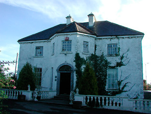 Woodville Housecountry house · 1020 yd
 Ecclesiastical enclosure in CatherinestownEcclesiastical enclosure · 1634 yd
Other information
Photo: Credit not shown in the picture search · Rights wording not checked; contact us if this picture should be removed