
What is recorded here
Situated at the W end of a low ridge running E-W, in undulating rough pasture. Monument described in 1971 as a much disturbed subrectangular-shaped area (dims, 30m NW-SE; 25.6m NE-SW) enclosed by an inner bank, an intervening fosse and an outer bank. The inner bank is best preserved where it is steep along the NE and SE sides. It is reduced to a scarp along the NW side. There is no bank along the SW side, where the monument is cut by a relatively modern field bank and trench which flank a laneway running NW-SE. There is a wide outer fosse which is best preserved along the SE side and is much fainter along the NW and NE sides. Much of the outer bank has been removed along the NE side and there are slight remains along part of the SE side. A trench extends from the E corner of the fosse and from the centre of the fosse along the SE side. The original entrance is not recognisable. The interior has several humps and hollows and there is a slight, irregular fosse-like depression along the base of the bank at SE. A house site (WM026-046001-) is visible in the W quadrant, a possible Man-made underground passage (WM026-046002-) is visible in the NW quadrant and a possible field system is visible in the immediate vicinity of the monument.
Compiled by Alison McQueen, Vera Rahilly and Caimin O’Brien.
Date of upload: 02 October 2019
A local fairy fort (ringfort/rath); wider significance not recorded.
This remains an important historical record, but the official description says the monument is no longer visible or has been destroyed. The monument record does not grant public access. Check the route and ask the landowner before entering private land.
- What survives
- No visible remains or recorded as destroyed
Places near here
 Dotted outlineFairy fort / earthen ringfort · 303 yd
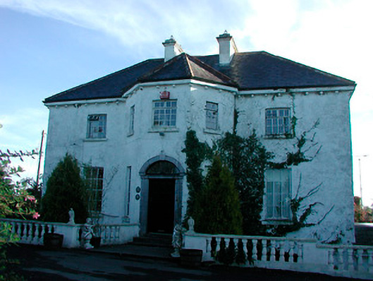 Woodville Housecountry house · 1672 yd
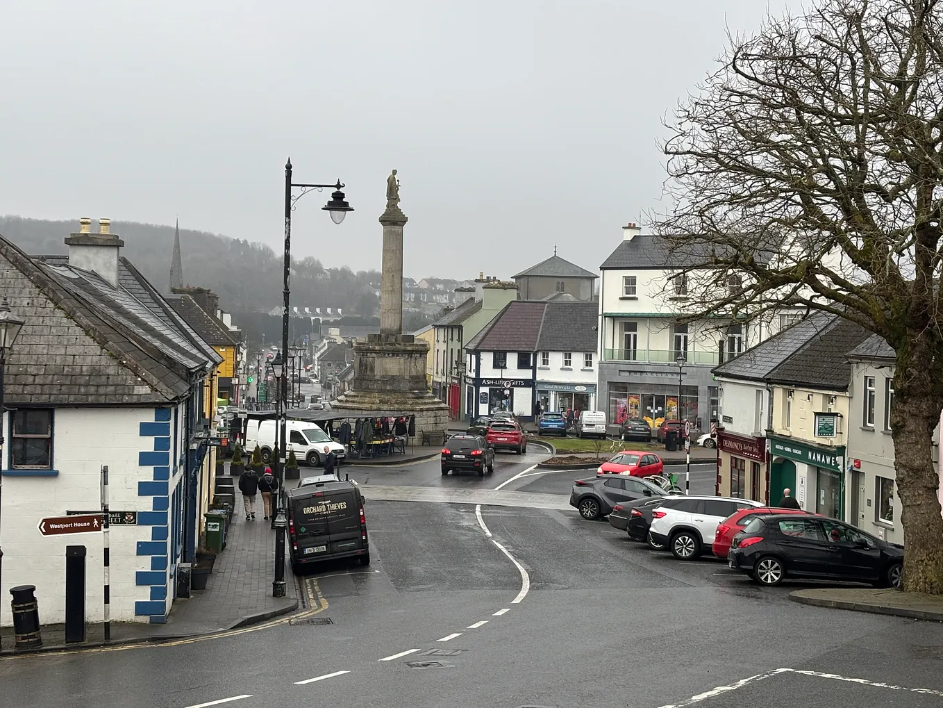 Not idnicatedFairy fort / earthen ringfort · 1.0 mi
 level crossinglevel crossing · 1.1 mi
 CastleCastle, tower house · 2.0 mi
 Heathstown CastleCastle, tower house · 2.2 mi
 United Nations War MemorialMemorial · 5.6 mi
 Saint Brigid's WellSpring · 6.2 mi
 Roundhill WoodForest · 9.9 mi
 Rahin WoodsForest · 10.0 mi
 Penal Mass station in VilanstownPenal Mass station · 1.3 mi
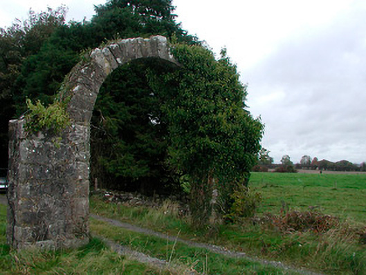 Violetstown Housefarmyard complex · 1.3 mi
Other information
Photo: Credit not shown in the picture search · Rights wording not checked; contact us if this picture should be removed