What is recorded here
Ecclesiastical enclosure in Enniscoffey or Caran is an ecclesiastical enclosure in Enniscoffey or Caran, County Westmeath, Ireland. A possible ecclesiastical enclosure is identified by the evidence of a quadrantal form matching the boundary wall of the graveyard. In 1977, low banks were described as running in an arc from the northwest corner of the wall to the field bank on the north and south sides. On the south side, these banks enclosed several small subrectangular enclosures, while no indication of features was visible to the east of the field bank.
Possible ecclesiastical enclosure identified by Swan (1988, 12) who recorded that there was evidence of a possible enclosure in the quadrantal form of the boundary wall of the graveyard (WM033-031001-). Earthworks described in 1977 as following; ‘to the N & S of the graveyard low banks can be seen, running in an arc from the NW corner of the wall to the field bank & on the S enclosing a no. of small subrectangular encloures. There is no indication of any features to the E of the field bank’ (SMR file 16/06/1977). The curving arc of this earthwork running from the NW corner of the graveyard wall may form part of a possible ecclesiastical enclosure.
Compiled by: Caimin O’Brien
Date of upload: 24 August 2015
The monument record does not grant public access. Check the route and ask the landowner before entering private land.
- What survives
- Recorded monument
Places near here
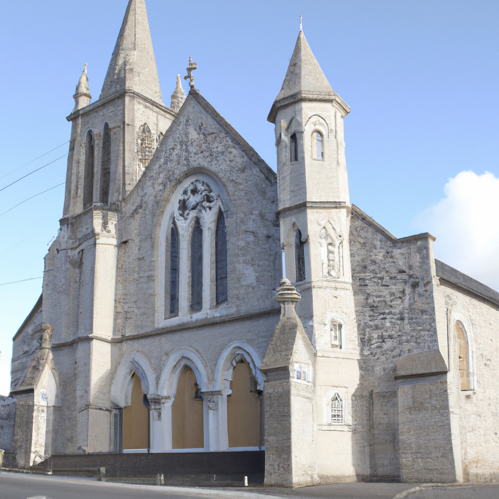 Church in Enniscoffey or CaranChurch · 19 yd
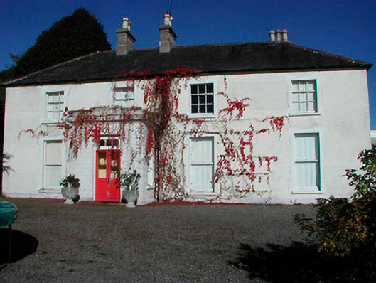 Rathcam Househouse · 471 yd
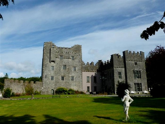 CastleCastle, unclassified · 1.0 mi
 Site of CastleCastle, unclassified · 1.4 mi
 Not idnicatedFairy fort / earthen ringfort · 1.5 mi
 IndicatedFairy fort / earthen ringfort · 1.5 mi
 Derrygreenagh HillMountain / peak · 4.8 mi
 Knockdrin HillMountain / peak · 5.2 mi
 Roundhill WoodForest · 9.5 mi
 Rahin WoodsForest · 9.7 mi
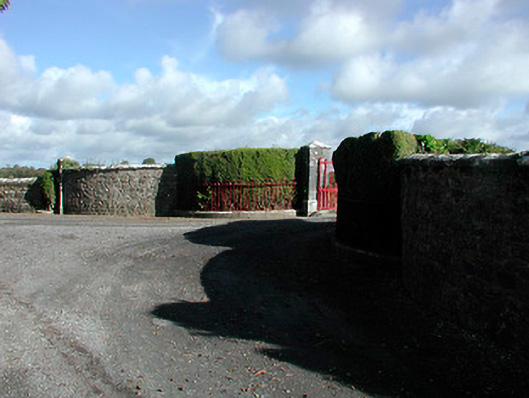 Claremont Housegates/railings/walls · 674 yd
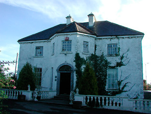 Woodville Housecountry house · 1653 yd