What is recorded here
Fairy fort / earthen ringfort in Curristown is a fairy fort or earthen ringfort in Curristown, County Westmeath, Ireland. The 1913 edition of the Ordnance Survey 25-inch map depicts the site as a circular earthwork measuring approximately 41 metres north-south and 40 metres east-west. A 1970 description records the monument as an almost levelled area defined by a low scarp, with vague traces of an intervening ditch and an outer bank, while noting that the original entrance is not visible. Today, the site is visible as a roughly circular cropmark on Digital Globe aerial photography.
Situated on a slight rise, in gently undulating and low-lying, poorly drained pasture, with restricted views of the surrounding landscape. Depicted on the revised 1913 ed. OS 25-inch map as a circular-shaped earthwork (approx. dims 41m N-S; 40m E-W). Monument described in 1970 as an almost levelled, roughly circular-shaped area defined by a low scarp (H 0.4m) with vague traces of an intervening fosse (Wth at top 4m; basal Wth 2.2m) and an outer bank (Wth at top 1.7m; overall Wth 4.5m; int. H 0.2m; ext. H 0.4m). The original entrance is not visible. The interior has a gentle W-facing slope and very slight natural humps and hollows. There are several slight depressions outside the perimeter which appear to be due to water action. Monument is visible today as a roughly circular-shaped cropmark on Digital Globe aerial photography.
Compiled by Alison McQueen, Vera Rahilly and Caimin O’Brien.
Date of upload: 09 July 2019
The monument record does not grant public access. Check the route and ask the landowner before entering private land.
- What survives
- Recorded monument
Places near here
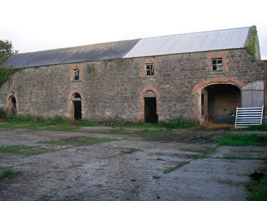 Curristown Housefarmyard complex · 297 yd
 OutlinedFairy fort / earthen ringfort · 815 yd
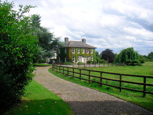 Saint Etchen'shouse · 906 yd
 CrossCross, Wayside cross · 1333 yd
 Rathwire Moat & CastleCastle, motte and bailey · 1536 yd
 CastleCastle, unclassified · 1.9 mi
 GinkgoGinkgo · 4.2 mi
 ScregganWood · 4.5 mi
 Croppies' GraveMemorial · 7.4 mi
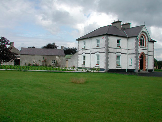 Saint Joseph'spresbytery/parochial/curate's house · 932 yd
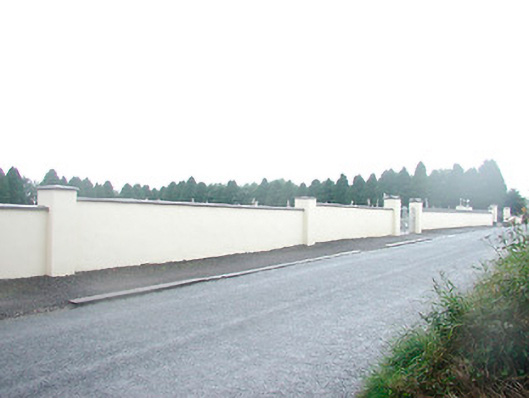 Saint Joseph's Cemeterygraveyard/cemetery · 1022 yd
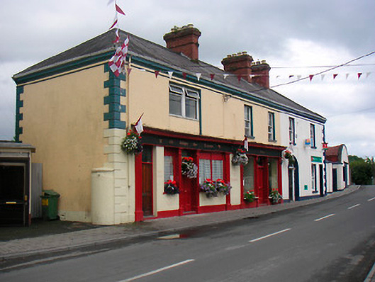 public housepublic house · 1027 yd