What is recorded here
Situated on a slight rise, in gently undulating pasture and tillage with good views to SE, S, and SW. A modern house plot abuts to SE. Depicted on the revised 1913 ed. OS 25-inch map as an oval-shaped earthwork (approx. dims 45m N-S; 40m E-W). Monument described in 1970 as a circular-shaped area enclosed by a bank, an…
Read the whole record
From the National Monuments Service (Archaeological Survey of Ireland) record WM020-129
Places near here
Photo credits
- National Inventory of Architectural Heritage
- EecherplazGinkgo06.jpg : Cayambe derivative work: Ginkgotree ( talk ), Wikimedia Commons · CC BY-SA 3.0
- Kieran Campbell, Geograph · Creative Commons Attribution-ShareAlike 2.0
- Mike Searle, Wikimedia Commons · CC BY-SA 2.0
- Dylan Moore, Geograph · CC BY-SA 2.0
- Eric Jones, Wikimedia Commons · CC BY-SA 2.0
- Andreas F. Borchert, Wikimedia Commons · CC BY-SA 4.0
- Robin Pollard, Wikimedia Commons · CC BY 3.0
- Malene Thyssen, Wikimedia Commons · CC BY-SA 3.0
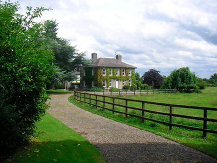 Saint Etchen'sHouse · 585 yd
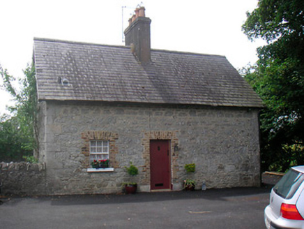 The CottageHouse · 832 yd
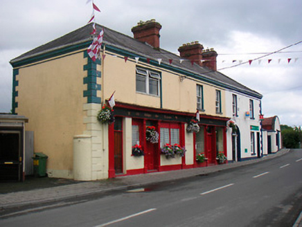 public house975 yd
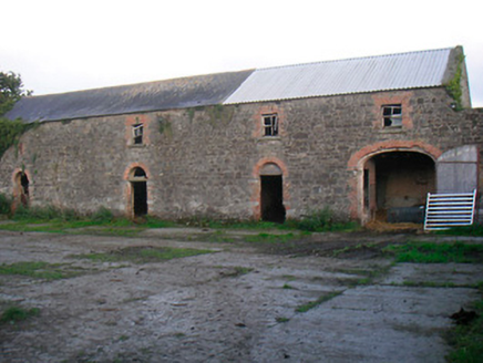 Curristown HouseFarmyard complex · 1104 yd
 Ginkgo3.8 mi
 Fairy fort / earthen ringfort in ReynellaFairy fort / earthen ringfort · 4.0 mi
_-_geograph.org.uk_-_2494736.jpg/250px-Castles_of_Leinster,_Martinstown,_Westmeath_(2)_-_geograph.org.uk_-_2494736.jpg "Photo: Mike Searle, Wikimedia Commons · CC BY-SA 2.0") Martinstown Castle in RuinsCastle, tower house · 5.2 mi
Martinstown Castle in RuinsCastle, tower house · 5.2 mi Bawn in RattinBawn · 5.5 mi
 Delvin CastleVisitor attraction · 6.5 mi
 Font (present location) in TowlaghtFont (present location) · 6.6 mi
Explorer Tom Font in Towlaght was moved from an old church to St Finian's in 1991. It’s carved with biblical scenes and looks like it has seen better days. It's free, it's odd, what more do you want?
.jpg/250px-Croppies_Grave_Clonard_-_panoramio_(1).jpg "Photo: Robin Pollard, Wikimedia Commons · CC BY 3.0") Croppies' GraveMemorial · 7.8 mi
Croppies' GraveMemorial · 7.8 mi European Beech8.5 mi
Explorer Tom European Beech in County Meath is sick of people asking if it talks to the other trees; yes, they gossip, shut up. It’s got that tired look of someone who’s heard every question before. Bring a flask of something warm and a story to swap.
More archaeology and monuments in County Westmeath · All of County Westmeath

What do you know about this place?Tap to add a comment or ask a question