What is recorded here
Cairn is a cairn (unclassified) in Coumaraglinmountain, County Waterford, Ireland. The 1995 record describes a D-shaped stone feature on the flat summit of Cnoiceen Hill, measuring 8 metres from northeast to southwest and 4.7 metres from northwest to southeast. Its western half is disturbed by a separate ring-cairn, while the main structure joins another nearby cairn within the protected Coumaraglinmountain complex.
Located on the flat summit of Cnoiceen Hill. D-shaped cairn (dims. 8m NE-SW; 4.7m NW-SE; H 0.2m), the W half of which is disturbed by a ring-cairn (WA023-066030-). It is conjoined with cairn WA023-066028-. (Moore 1995, 200, 212, 242, J9)
This monument forms part of the national monument complex at Coumaraglinmountain (National Monuments (Preservation) Order No. 4 of 1996).
The above description is derived from the published 'Archaeological Inventory of County Waterford' (Dublin: Stationery Office, 1999). In certain instances the entries have been revised and updated in the light of recent research.
Compiled by: Michael Moore
Date of upload/revision: 29 April 2011
D-shaped cairn, likely dating to the Neolithic or Early Bronze Age. Its association with other cairns suggests a ritual or funerary function within a broader landscape of burial monuments.
The monument record does not grant public access. Check the route and ask the landowner before entering private land.
- What survives
- Recorded monument
Places near here
 Field system in CoumaraglinmountainField system · 105 yd
 BarrowBarrow, pond barrow · 357 yd
 Standing StoneMemorial · 416 yd
 KilnKiln, lime · 1366 yd
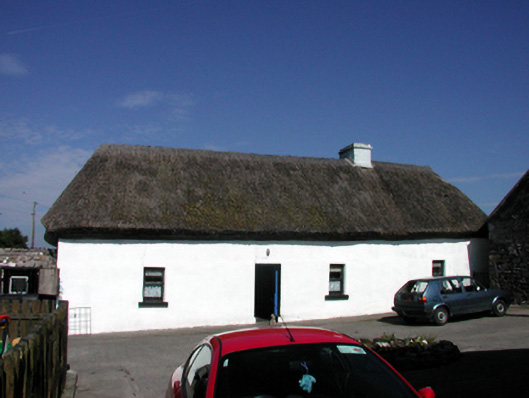 farm housefarm house · 1.4 mi
 Coumaraglin MountainMountain / peak · 1.6 mi
 CrohaunMountain / peak · 2.1 mi
 Bawn in BarnankileBawn · 3.3 mi
 Mahon ValleyCliff · 3.6 mi
 Castle (in ruins)Castle, tower house · 4.1 mi
 Magic Road (start)Heritage attraction · 4.6 mi
 Magic Road (finish)Heritage attraction · 4.6 mi