
What is recorded here
Situated in rough pasture, occupying most of a small fern-covered hill known locally as 'Cnoiceen'. This is a field system comprising eight rectangular fields, each enclosing c. 1ha. Those on the NE-facing slope are constructed around a central spine, while those on the SW-facing slope lie between two long E-W boundaries. The walls consist of a stone spread (Wth 1-2m). There is a semicircular field at the foot of the slope at the SE which is defined by a natural scarp at its open side. A similar enclosure survives on the NE-facing slope. (Moore 1995, 194, 224, 240, B)
This monument forms part of the national monument complex at Coumaraglinmountain (National Monuments (Preservation) Order No. 4 of 1996).
The above description is derived from the published 'Archaeological Inventory of County Waterford' (Dublin: Stationery Office, 1999). In certain instances the entries have been revised and updated in the light of recent research.
Compiled by: Michael Moore
Date of upload/revision: 29 April 2011
The monument record does not grant public access. Check the route and ask the landowner before entering private land.
- What survives
- Recorded monument
Places near here
 BarrowBarrow, pond barrow · 453 yd
 CairnCairn, unclassified · 504 yd
 Standing StoneMemorial · 509 yd
 KilnKiln, lime · 1464 yd
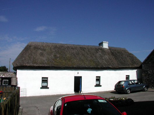 farm housefarm house · 1.3 mi
 Coumaraglin MountainMountain / peak · 1.7 mi
 CrohaunMountain / peak · 2.1 mi
 Bawn in BarnankileBawn · 3.4 mi
 Mahon ValleyCliff · 3.6 mi
 Castle (in ruins)Castle, tower house · 4.0 mi
 Magic Road (start)Heritage attraction · 4.6 mi
 Magic Road (finish)Heritage attraction · 4.6 mi
Other information
Photo: Credit not shown in the picture search · Rights wording not checked; contact us if this picture should be removed