
What is recorded here
Situated on the floor of the NE-SW upper Araglin river valley, on the SE edge of the ravine of a NE-SW tributary. A D-shaped mound (dims. c. 6m N-S; c. 6m E-W; H 1m) contains the stone-lined bowl of a kiln (diam. of top 1.7m; diam. of base 1m; D 1.6m), whose W side has been broken out. The firing chamber is dug into the ground, and accessed from the cut of the stream.
This monument forms part of the national monument complex at Coumaraglinmountain (National Monuments (Preservation) Order No. 4 of 1996).
Compiled by: Michael Moore
Date of upload/revision: 18 November 2010
The monument record does not grant public access. Check the route and ask the landowner before entering private land.
- What survives
- Recorded monument
Places near here
 Booley hut in CoumaraglinmountainBooley hut · 163 yd
 Cist in CoumaraglinmountainCist · 167 yd
 Standing StoneMemorial · 958 yd
 Coumaraglin MountainMountain / peak · 1.0 mi
 SeefinMountain / peak · 1.6 mi
 Kilbrien National SchoolOfficially recorded historic building · 1.9 mi
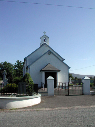 Saint Patrick's Catholic Churchchurch/chapel · 1.9 mi
 Mahon ValleyCliff · 2.8 mi
 Bawn in BarnankileBawn · 3.1 mi
 Magic Road (start)Heritage attraction · 3.8 mi
 Magic Road (finish)Heritage attraction · 3.8 mi
 Crough WoodWood · 4.3 mi
Other information
Photo: Credit not shown in the picture search · Rights wording not checked; contact us if this picture should be removed