
What is recorded here
Detached seven-bay double-height national school, dated 1949, with three-bay single-storey flat-roofed entrance block to front on a U-shaped plan having single-bay single-storey flat-roofed projecting flanking end bays. Refenestrated, c.2000. Pitched slate roof with clay ridge tiles, roughcast chimney stack, sproketed eaves, and cast-iron rainwater goods on rendered eaves. Flat felt roof to entrance bay on a U-shaped plan with cast-iron rainwater goods on rendered eaves. Painted roughcast walls with cut-stone date stone/plaque, and rendered band to eaves to entrance block. Square-headed window openings with concrete sills. Replacement uPVC casement windows, c.2000, with some replacement fixed-pane uPVC windows, c.2000, to upper level to main block. Square-headed door opening with rendered surround having concrete entablature over, and timber panelled door. Set back from road in own grounds with landscaped grounds to site. Pair of detached three-bay single-storey shelters, built 1949, to north-east and to south-west with square-headed open arcades. Flat concrete roofs. Painted roughcast walls with rendered band to arcade. Square-headed openings forming arcade on painted cast-concrete pillars.
An appealing national school building of compact plan and balanced proportions, built to a design prepared by the Office of Public Works on behalf of the Department of Education. The school is of particular significance as one of the earliest purpose-built educational facilities in the locality. While the school retains its original form and much of its original character, the inappropriate replacement fittings to the window openings have not had a positive impact on the external expression of the composition.
From the Buildings of Ireland (National Inventory of Architectural Heritage) record 22804003
This does not grant access. Most recorded buildings are privately owned; view them only from public ground unless the owner allows entry.
Places near here
Photo credits
- National Inventory of Architectural Heritage
- kevin higgins, Geograph · CC BY-SA 2.0
- Colin Park, Geograph · CC BY-SA 2.0
- Rwxrwxrwx at English Wikipedia, Wikimedia Commons · Public domain
- Miguel Angel Masegosa Martínez, Wikimedia Commons · CC BY 2.0
- TheLizardQueen, Wikimedia Commons · CC BY 2.0
- Liam Hughes, Wikimedia Commons · CC BY 2.0
- Alexander Redfern, Wikimedia Commons · CC BY-SA 4.0
- Taken by Fanghong, Wikimedia Commons · CC BY-SA 3.0
- Mike Searle, Wikimedia Commons · CC BY-SA 2.0
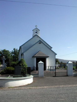 Saint Patrick's Catholic ChurchChurch/chapel · 177 yd
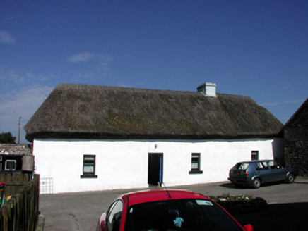 farm house1480 yd
 SeefinMountain / peak · 2.8 mi
 CoumfeaMountain / peak · 4.9 mi
 Mahon ValleyCliff · 5.4 mi
 Mahon FallsWaterfall · 5.4 mi
 Sweet Chestnut8.6 mi
 Battle of AffaneMajor battlefield · 9.0 mi
 Dromana GateHeritage attraction · 9.2 mi
 Liam Lynch MonumentMonument · 9.5 mi
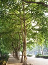 London Plane9.9 mi
 Tourin CastleCastle, tower house · 9.9 mi
More historic places in County Waterford · All of County Waterford
What do you know about this place?