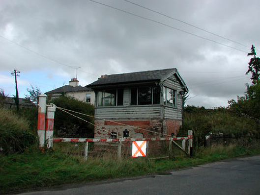
What is recorded here
Freestanding two-bay two-storey signal box, built or rebuilt c.1925. Pitched natural slate roof with overhanging eaves with decorative timber brackets to gable ends and a single red brick chimneystack to the centre, behind roof ridge. Constructed of machine-made brick to ground floor with timber cladding over to first floor observation level. Square-headed window openings to first floor with replacement windows and segmental-headed openings to ground floor openings having remains of cast-iron windows. Square-headed doorway with timber door. Stairs to first floor door opening now removed. Located adjacent to Castletown Station (15402530).
A pleasing small-scale railway structure representing an important element of the transport and civil engineering heritage of County Westmeath. Skillfully designed, with red brick ground floor, timber superstructure and decorative brackets to the gables, this building is ornate and is of architectural merit. The structure retains many original features including decorative bargeboards, timber cladding and cast-iron window frames. This signal box probably dates to c.1925 and replaced an earlier signal box at the same location. This box is of a standard design introduced by the Midland and Great Western Railway Company c.1920 and is one of a number of similar structures in Westmeath. Many signal boxes of this type were constructed as replacements for boxes damaged or destroyed during the Civil War of 1922 – 1923, and it is quite likely that this was the case here at Castletown. This signal box is an interesting feature in the rural landscape and forms part of good group of associated structures at Castletown Railway Station.
This does not grant access. Most recorded buildings are privately owned; view them only from public ground unless the owner allows entry.
Places near here
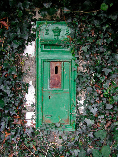 post boxpost box · 35 yd
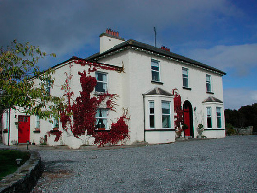 Conranstown Househouse · 38 yd
 Enclosure in RathdrishogeEnclosure · 716 yd
 Rathdrishoge CastleCastle, unclassified · 719 yd
 Partially hachuredFairy fort / earthen ringfort · 864 yd
 Glomerstown CastleCastle, unclassified · 978 yd
 Hill of UisneachMountain / peak · 3.0 mi
 European ashEuropean ash · 3.5 mi
 Sam's ParkForest · 3.9 mi
 Bonfire HillMountain / peak · 7.9 mi
 St. Columba's WellSpring · 9.4 mi
 Moate HillMountain / peak · 10 mi
Other information
Photo: National Inventory of Architectural Heritage · Website use allowed for educational or private purposes with source credit