
What is recorded here
Situated on S-facing slope, in pasture, with good views to E, S and W. Rathdrishoge Castle (WM025-138-----) stands along SW side of large semi-circular shaped enclosure
Bivallate enclosure possibly the remains of an castle bawn described in 1978 as the remains of a large roughly semi-circular-shaped area (approx. dims. 60m NE-SW; 45m NW-SE) defined by an inner bank, an intervening fosse and an outer bank. The inner bank is substantial and both it and the outer bank comprise of earth and stone. The perimeter of the earthwork is best preserved along the straight side to SW and from NW-NE. It is quite denuded from NE-E-SE where it is visible as a low, wide grassy bank. This may suggest a possible entrance at this location.
Compiled by Alison McQueen, Vera Rahilly and Caimin O’Brien.
Date of upload: 27 September 2019
A local fairy fort (ringfort/rath); wider significance not recorded.
The monument record does not grant public access. Check the route and ask the landowner before entering private land.
- What survives
- Recorded monument
Places near here
 Rathdrishoge CastleCastle, unclassified · 24 yd
 Dotted outlineFairy fort / earthen ringfort · 321 yd
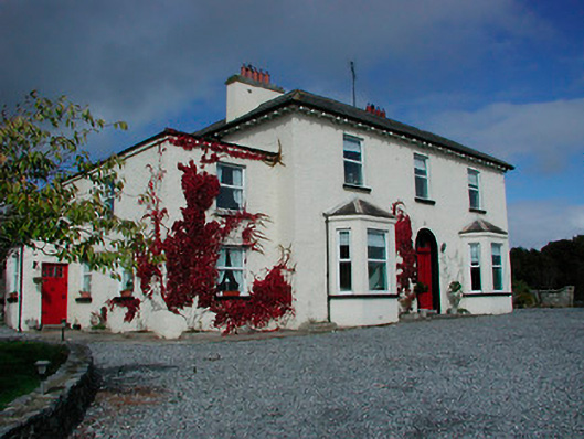 Conranstown Househouse · 683 yd
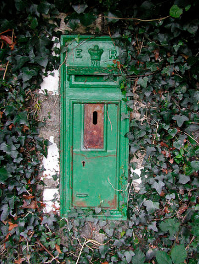 post boxpost box · 698 yd
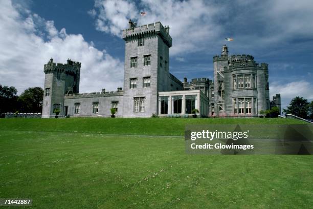 Glomerstown CastleCastle, unclassified · 1033 yd
 Ecclesiastical enclosure in Adamstown (moycashel By.)Ecclesiastical enclosure · 1396 yd
 Hill of UisneachMountain / peak · 3.4 mi
 European ashEuropean ash · 3.9 mi
 Sam's ParkForest · 4.2 mi
 Bonfire HillMountain / peak · 7.6 mi
 St. Columba's WellSpring · 9.2 mi
 Moate HillMountain / peak · 10 mi
Other information
Photo: Credit not shown in the picture search · Rights wording not checked; contact us if this picture should be removed