
What is recorded here
Situated on S-facing slope, in pasture, with good views to E, S and W. Rathdrishoge Castle depicted on the 1838 ed. OS 6-inch map as a small square structure with field boundary intersecting the E side of the castle. However on the revised 1913 ed. OS 25-inch map the castle is shown as a long rectangular structure, with its long axis aligned ENE-WSW.
Castle appears in S quadrant of a large D-shaped enclosure (WM025-138001-). Upstanding remains described in 1971 as the remains of a long rectangular-shaped building (approx. L 36m; Wth 6m) defined by grass-covered wall footings and two short upstanding sections of the SE and SW wall. A portion of the SE wall (L 6m; H 5m) and the centre of the SW wall (L 9m; H 5m) are constructed of rubble stone. The quoin stones visible in the S corner are roughly hewn, and there is no dressed stone visible. Two main subdividing walls which survive as low grass-covered wall footings are noted within the interior. A range of buildings defined by a pair of parallel banks (approx. L 35m; Wth approx. 6-7m) extend at a right angle from the SE end of the NE wall. Monument placed on the Register of Historic Monuments 18/12/1987.
Compiled by Alison McQueen, Vera Rahilly and Caimin O’Brien.
Date of upload: 27 September 2019
Rathdrishoge Castle is a small medieval tower house, likely built in the 15th or 16th century by a local Gaelic family. It is remembered for its strategic position and as an example of early Irish defensive architecture.
The monument record does not grant public access. Check the route and ask the landowner before entering private land.
- What survives
- Recorded monument
Places near here
 Enclosure in RathdrishogeEnclosure · 24 yd
 Dotted outlineFairy fort / earthen ringfort · 299 yd
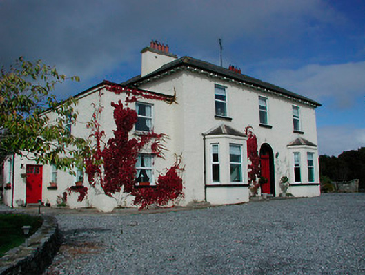 Conranstown Househouse · 687 yd
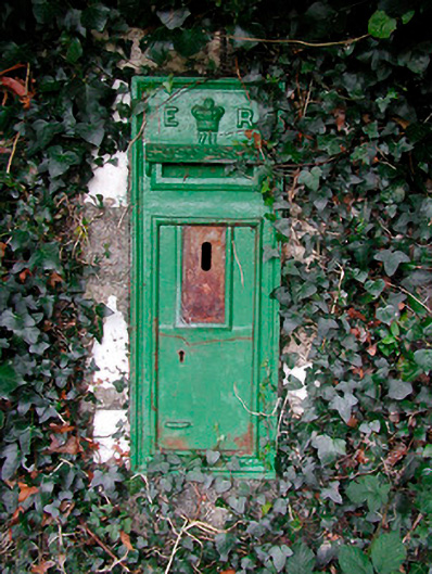 post boxpost box · 700 yd
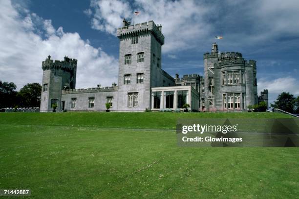 Glomerstown CastleCastle, unclassified · 1056 yd
 Adamstown Castle (in Ruins)Castle, tower house · 1149 yd
 Hill of UisneachMountain / peak · 3.4 mi
 European ashEuropean ash · 3.9 mi
 Sam's ParkForest · 4.2 mi
 Bonfire HillMountain / peak · 7.5 mi
 St. Columba's WellSpring · 9.2 mi
 Moate HillMountain / peak · 10 mi
Other information
Photo: Credit not shown in the picture search · Rights wording not checked; contact us if this picture should be removed