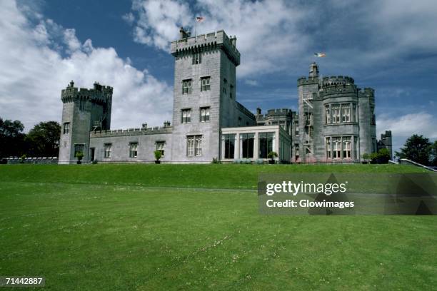
What is recorded here
Situated on a low rise, in pasture, with good views to N, E and S and overlooked by a ridge to SW and W. Depicted on the 1837 OS Fair Plan map as a small rectilinear-shaped enclosure, annotated ‘Site of Glomerstown Castle’. Depicted on the 1837 OS 6-inch map as a small rectangular-shaped area delimited by a broken line. Levelled castle site described in 1978 as no surface remains visible. A railway line running NE-SW traverses the castle site and no structures or associated earthworks are visible today on Digital Globe aerial photographs.
Compiled by Alison McQueen, Vera Rahilly and Caimin O’Brien.
Date of upload: 23 September 2019
Built in the late medieval period, likely by a local landholding family, Glomerstown Castle is remembered primarily for its strategic position on a low rise, offering extensive views and defensible advantages in the surrounding landscape. Its remains, recorded on the 1837 OS Fair Plan, provide insight into lesser-known regional defensive structures of the period.
The monument record does not grant public access. Check the route and ask the landowner before entering private land.
- What survives
- Recorded monument
Places near here
 Tober BaoithenHoly well · 378 yd
 bridgebridge · 435 yd
 Partially indicatedFairy fort / earthen ringfort · 718 yd
 CastleCastle, tower house · 828 yd
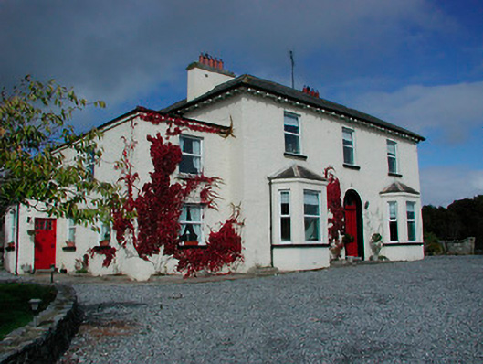 Conranstown Househouse · 951 yd
 Rathdrishoge CastleCastle, unclassified · 1056 yd
 Ancient Ring FortWood · 1.9 mi
 Hill of UisneachMountain / peak · 3.1 mi
 European ashEuropean ash · 3.8 mi
 Bonfire HillMountain / peak · 8.1 mi
 St. Columba's WellSpring · 9.8 mi
 Abbeyshrule AbbeyRuins · 10 mi
Other information
Photo: Credit not shown in the picture search · Rights wording not checked; contact us if this picture should be removed