
What is recorded here
From the National Monuments Service (Archaeological Survey of Ireland) record WM025-087
Places near here
Photo credits
- Maker not stated on source page, commons.wikimedia.org
- National Inventory of Architectural Heritage
- Maker not stated on source page, theirishaesthete.com
- Maker not stated on source page, www.alamy.com
- Maker not stated on source page, global-geography.org
- Maker not stated on source page, www.gaia.com
- Maker not stated on source page, www.flickr.com
 Flat cemetery in RedmondstownFlat cemetery · 1011 yd
Explorer Tom Flat cemetery in Redmondstown was accidentally discovered by a bulldozer that broke its capstone like it was a cheap…
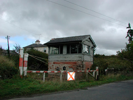 Castletown Railway StationSignal box · 1019 yd
Explorer Tom Castletown Railway Station has a local mate who swears he invented the signal box back in 1925 with a hammer and a…
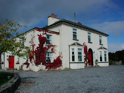 Conranstown HouseHouse · 1027 yd
Explorer Tom Conranstown House in Conranstown is pretending to be a fancy dispensary, but I bet a cow tried to buy it last week.…
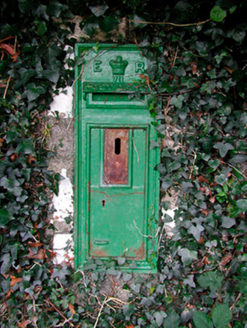 post box1054 yd
Explorer Tom Post box in Conranstown would tell Saint Patrick to stop drinking and start delivering the mail already. It’s got…
 bridge1209 yd
Explorer Tom Bridge in Rathnamuddagh had a moment where a fox tried to take charge of the whole operation last Tuesday. It’s been…
 Taghboyne GraveyardGraveyard · 1648 yd
Explorer Tom Taghboyne Graveyard is incredibly proud of its ability to make your phone signal disappear completely within ten…
 RedmondstownDemesne walls/gates/railings · 1720 yd
Explorer Tom Redmondstown in Westmeath is just a fancy gate standing there like a confused doorman without a house to guard. It…
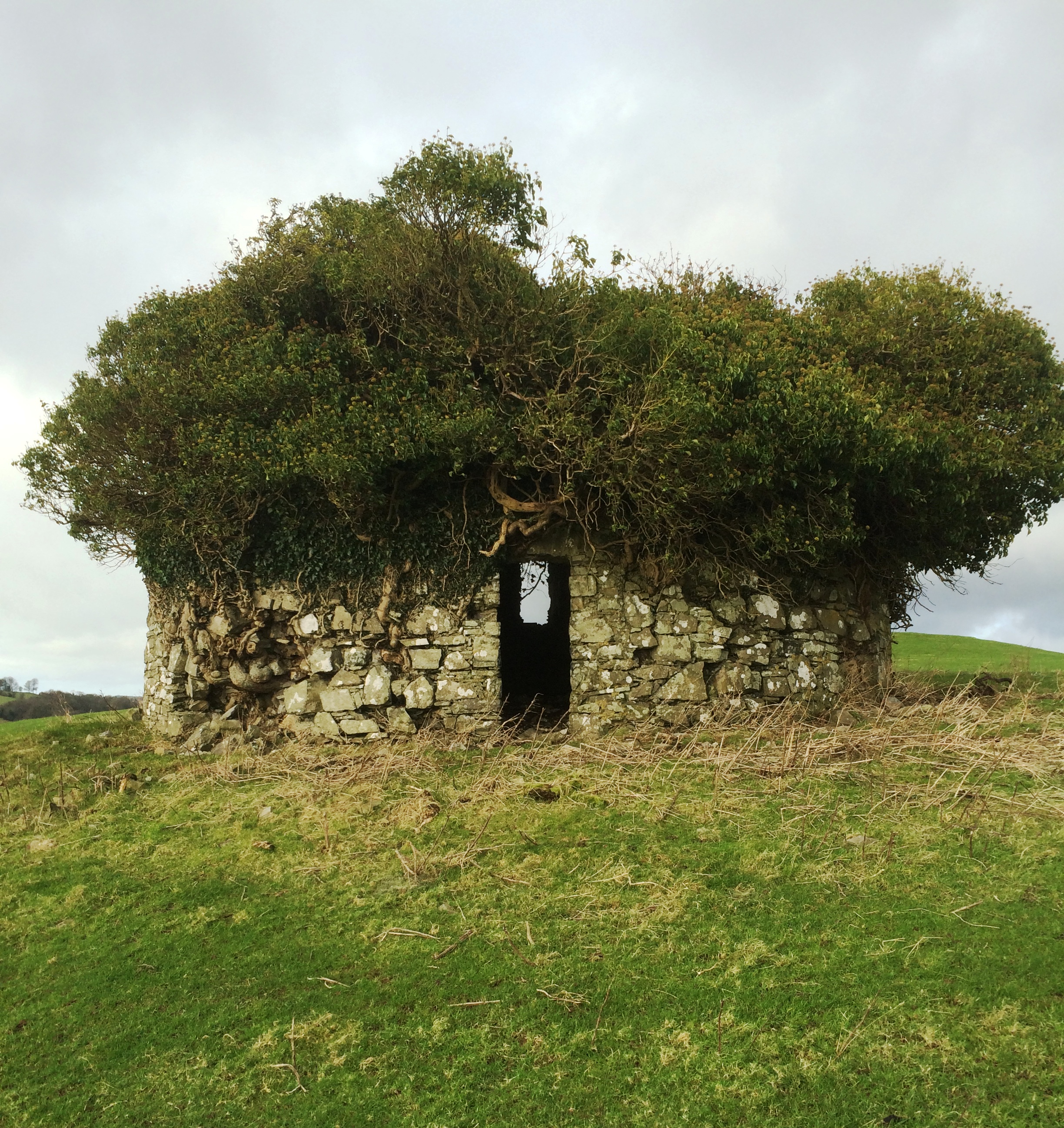 Fairy fort / earthen ringfort in Adamstown (moycashel By.)Fairy fort / earthen ringfort · 1.1 mi
Explorer Tom The Fairy fort in Adamstown is sitting on a gentle rise looking down on the pasture like it owns the place, which it…
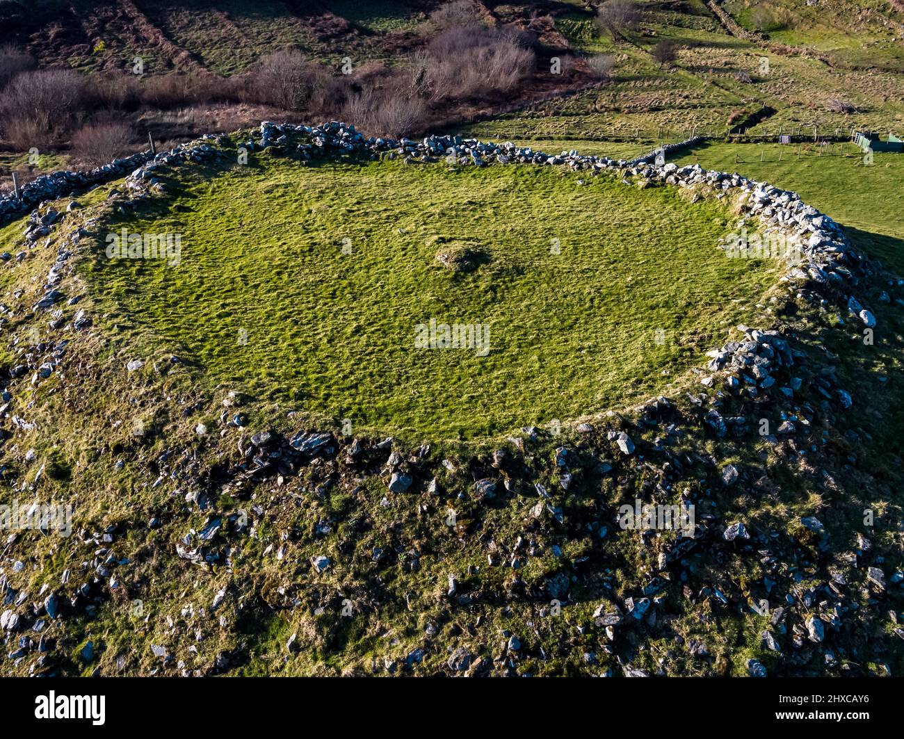 Fairy fort / ringfort in Adamstown (moycashel By.)Fairy fort / ringfort · 1.1 mi
Explorer Tom Another fairy fort in Adamstown sparked a whole parish argument about who actually owns the mud. It sits on a wet rise…
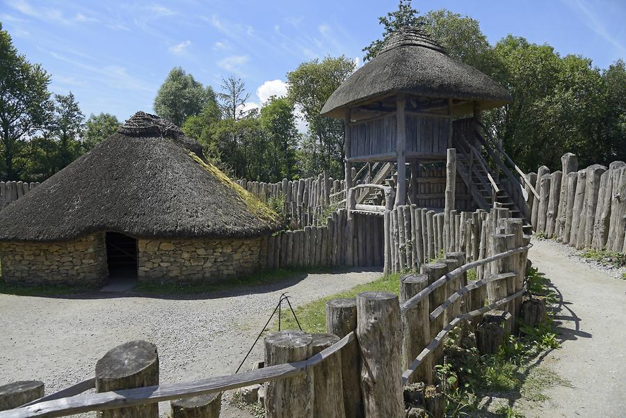 Fairy fort / earthen ringfort in Jamestown (rathconrath By., Jamestown Ed)Fairy fort / earthen ringfort · 1.2 mi
Explorer Tom Fairy fort / earthen ringfort in Jamestown got it wrong on the map because the surveyor was drunk on cheap whiskey…
 Fairy fort / earthen ringfort in RathnamuddaghFairy fort / earthen ringfort · 1.3 mi
Explorer Tom Fairy fort / earthen ringfort in Rathnamuddagh has a superstition locals swear by: touch the bank and you'll find your…
 Carn Castle in ruinsCastle, tower house · 1.5 mi
Explorer Tom Carn Castle is secretly proud of the one potato growing in its corner. It’s been guarding that spud for centuries while…
More archaeology and monuments in County Westmeath · All of County Westmeath

What do you know about this place?Tap to add a comment or ask a question