Cahill and Sikora (2011, 540-5) record that ‘in June 1956 a short cist containing an inhumation was discovered near Castletown Geoghegan, Co. Westmeath. The cist (grave 1) was discovered when a bulldozer which was being used to level the spot came across the capstone and broke it lengthwise to reveal the cist. The…
Read the whole record
Cahill and Sikora (2011, 540-5) record that ‘in June 1956 a short cist containing an inhumation was discovered near Castletown Geoghegan, Co. Westmeath. The cist (grave 1) was discovered when a bulldozer which was being used to level the spot came across the capstone and broke it lengthwise to reveal the cist. The find was reported to the Museum by the Gardaí at Castletown Geoghegan and was investigated on 27 June by Ellen Prendergast. The human remains were examined by Professor C.A. Erskine. In September of the same year two further cists (graves 2 and 3)—one containing a crouched burial and the second a cremation and a bowl—were reported from the same site, also as a result of bulldozing operations. These were excavated by Breandán Ó Ríordáin. The following report is based on Ó Ríordáin's and Prendergast's accounts of their excavations. The human remains were analysed by Laureen Buckley. The site was situated in a small gravel mound or quarry in the middle of a field between 140m and 150m above sea level. Grave 1
The short cist was rectangular in plan, with its long axis aligned north/south. It measured 1.02m long by 0.7m wide by 0.66m high. It was formed of four main slabs, one at each side. The cist walls were supported externally by smaller packing stones. The structure was sealed by a large capstone, which had cracked longitudinally at the western side- of the cist. It measured 1.9m long by 1.75m wide by 0.2m thick. The floor of the cist was formed of bedrock. The pit dug to receive the cist does not seem to have been discovered. The cist contained a crouched inhumation of an adult male (1956:209) and no accompanying artefacts were found. Most of the larger bones had been moved from their original position but it was possible to see that the skeleton originally lay on its left side, with the head to the north and the feet to the south. Both the legs and the arms appear to have been flexed, most of the finger bones being near the lower jaw. The bones were in a good state of preservation. Grave 2
This was located approximately 2.25m east of cist 1. The cist was rectangular in plan, with the long axis running north-west/south-east. It, measured 0.84m long by 0.51m wide by 0.55m high. It was formed of four main slabs set on edge, one at each side. Each of the side stones (north-east and south-west) had been lengthened by the positioning of shorter stones between them and the south-eastern end. Stones had been placed flat on the four corners of the cist as an interface between the walls and the capstone. There was no evidence for the presence of packing stones around the outside of the cist. The capstone was rectangular in plan and completely covered the cist, measuring 1.33m long by 1.07m wide by 0.17m thick. The floor of the cist was not paved but was formed of the natural sand. The cist contained the crouched articulated remains of an adult female (1956:233) associated artefacts were discovered with the burial. The body lay partly on its right side, the skull at the north-eastern end of the cist. The right hand was flexed at the el the forearm bent back so that it was close to the skull. The, left hand was slightly flexed a elbow and the fingers lay across the right hand just above the elbow. Grave 3
This was located approximately 1.7m south-east of cist 2. The cist was rectangular in with its long axis running north-west/south-east. The capstone, north-we end stone and the side stone on the western side had been displaced by the bulldozer. It was possible for Prendergast to reconstruct the cist and the measurements are based on reconstruction. The cist measured 0.65m long by 0.47m wide by 0.45m high. It was for of four edge-set slabs, each acting as a cist wall. No packing stones were found around outside of the cist, apart from one edge-set slab outside the north-eastern side. The cist was sealed by two stones. The main, lozenge-shaped capstone measured 0.89m long by 0.72m wide by 0.12m thick. A smaller capstone that covered a small portion of the cist at the sc eastern end was still in position at the time of investigation. This measured 0.35m long by 0.45m wide and had been recently fractured on one side. The floor of the cist was not paved but was formed of the natural sandy subsoil. According to the original report, the cist contained a cremation deposit (1956: representing a juvenile and a bowl. When the remains were examined by Buckley, it was found that the bone was in fact mineralised rather than cremated. The bone had been placed a centre of the cist. The bowl was found near the centre and towards the northern corner of the cist. It had been placed upright. The force of the bulldozing operations, which had pushed the end slab and side slab inwards at the north-western end, had also pushed the vessel to the south-eastern end of the cist. When discovered it was filled with and surrounded by clay. A sample of the human remains was submitted for radiocarbon dating, but owing t fact that there was no collagen in the bone the results were not considered reliable. A sample of what was thought to be mineralised bone from grave 3 was submitted for radiocarbon dating but the sample did not contain any collagen. A date of 3310±80 BP was produced but it is considered unreliable (Brindley 2007, 67). The bowl type is also considered k be anomalous (Ó Ríordáin and Waddell 1993, 230, no. 363). The discovery of three cists indicates the site of a flat cemetery, but its overall extent is not known. Two of the three cists had no contents other than their human remains, or at least no associated finds that survived. there are no records of the discovery of other early Bronze Age vessels from this townland (which might suggest discovery and removal of the pottery at an earlier stage), due consideration must be given to the possibility that, in some cases, only certain burials are accompanied by ceramic vessels'.

 RedmondstownDemesne walls/gates/railings · 764 yd
 Standing stone in RogerstownStanding stone · 1011 yd
 Taghboyne GraveyardGraveyard · 1134 yd
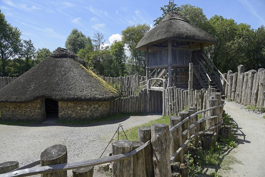 Fairy fort / earthen ringfort in Jamestown (rathconrath By., Jamestown Ed)Fairy fort / earthen ringfort · 1160 yd
 Castletown Railway StationStore/warehouse · 1261 yd
 post box1348 yd
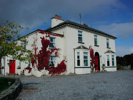 Conranstown HouseHouse · 1362 yd
 Carn Castle in ruinsCastle, tower house · 1599 yd
 Jamestown CourtFolly · 1647 yd
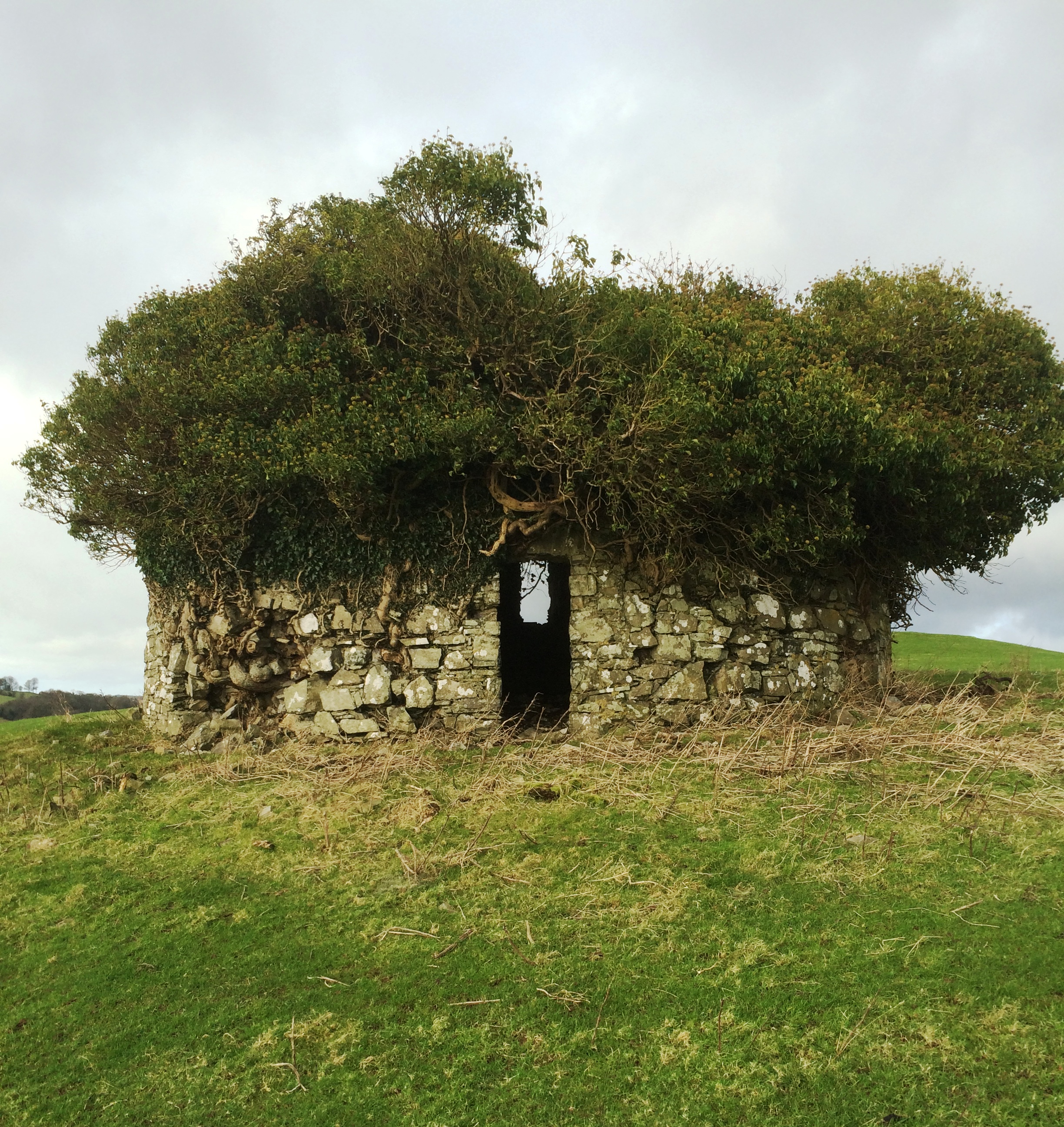 Fairy fort / earthen ringfort in Adamstown (moycashel By.)Fairy fort / earthen ringfort · 1725 yd
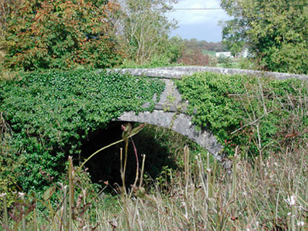 bridge1.0 mi
 Flat cemetery in Adamstown (moycashel By.)Flat cemetery · 1.3 mi

What do you know about this place?Tap to add a comment or ask a question