
What is recorded here
Single-arched railway bridge, built c.1851, carrying former Midland Great Western Railway Mullingar to Athlone/Galway line over road. No longer in active use. Constructed of coursed rock-faced limestone with elongated rock-faced voussoirs to arch and ashlar limestone copping over parapet. Projecting ashlar limestone string course at springing level of arch. Bridge crosses road, at a skewed angle, to the southwest of Mullingar.
A robust and elegantly-appointed railway bridge representing an important element of the transport and civil engineering heritage of County Westmeath. This bridge was originally constructed by the Midland and Great Western Railway Company to serve the Mullingar to Galway line, which opened 1851 and closed in 1987. This bridge is one of a number of similar bridges in the area associated with this company. This bridge is well-built using rock-faced local limestone, a typical feature of mid nineteenth-century engineering projects of this nature. The elongated voussoirs to the arch are a distinctive feature. This bridge is an appealing feature in the landscape to the southwest of Mullingar and adds incident to its rural location.
From the Buildings of Ireland (National Inventory of Architectural Heritage) record 15402536
This does not grant access. Most recorded buildings are privately owned; view them only from public ground unless the owner allows entry.
Places near here
Photo credits
- National Inventory of Architectural Heritage
- Abi Skipp, Wikimedia Commons · CC BY 2.0
- Willow, Wikimedia Commons · CC BY 2.5
- Bridget Neville, Wikimedia Commons · CC BY-SA 4.0
- Mike Searle, Geograph · CC BY-SA 2.0
- Maker named on the Wikimedia Commons picture page · CC BY-SA 2.5
- Seán Dunne, Wikimedia Commons · CC BY-SA 4.0
- Jamesco101, Wikimedia Commons · CC BY-SA 4.0
 Ballyhandy HouseHouse · 1249 yd
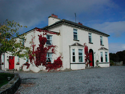 Conranstown HouseHouse · 1385 yd
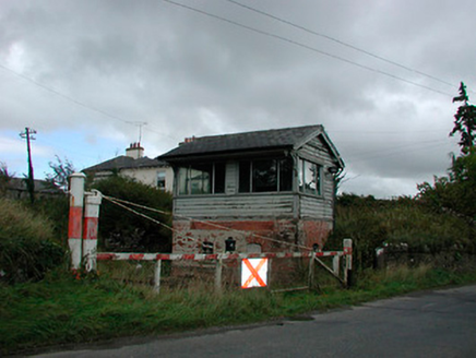 Castletown Railway StationSignal box · 1413 yd
 Castletown Railway StationOfficially recorded historic building · 1423 yd
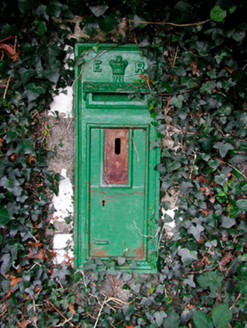 post box1437 yd
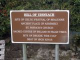 Hill of UisneachMountain / peak · 3.2 mi
 European ash3.9 mi
 Brides WellHoly well · 3.9 mi
 Laragh CastleCastle · 5.8 mi
 Sessile Oak8.6 mi
 Durrow AbbeyArchaeological place · 10 mi
 Abbeyshrule AbbeyRuins · 10 mi
More historic places in County Westmeath · All of County Westmeath
What do you know about this place?