
What is recorded here
Situated on a low rise, in low lying gently undulating wet pasture, with extensive views to SE and SSW. Monument described as a roughly oval-shaped area enclosed by a steep inner earthen bank, an intervening fosse and an outer bank. The inner bank is almost reduced to a scarp (H 1.6m) which has a slight concavity from N-NE, possibly due to part of it having been removed. A small portion of the scarp has been dug away at W. Several later field banks intersect the base of the scarp and it is slightly defaced at SSE for this reason. The intervening fosse is shallow and there are traces of a low outer bank. No entrance feature visible. The interior has a general WNW-facing slope, is fairly even with a slight rise toward the centre. Monument placed on the Register of Historic Monuments 18/12/1987.
Compiled by Alison McQueen, Vera Rahilly and Caimin O’Brien.
Date of upload: 27 September 2019
A local fairy fort (ringfort/rath); wider significance not recorded.
The monument record does not grant public access. Check the route and ask the landowner before entering private land.
- What survives
- Recorded monument
Places near here
 Rathdrishoge CastleCastle, unclassified · 299 yd
 Enclosure in RathdrishogeEnclosure · 321 yd
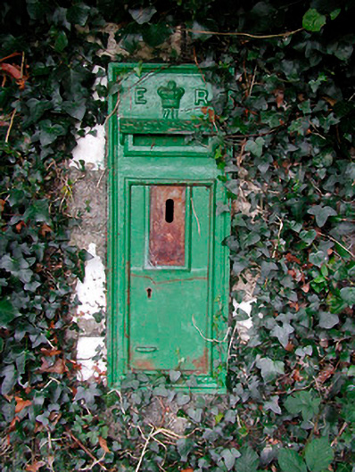 post boxpost box · 901 yd
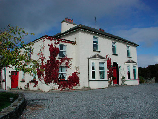 Conranstown Househouse · 901 yd
 Adamstown Castle (in Ruins)Castle, tower house · 1067 yd
 Ecclesiastical enclosure in Adamstown (moycashel By.)Ecclesiastical enclosure · 1095 yd
 Hill of UisneachMountain / peak · 3.5 mi
 European ashEuropean ash · 4.0 mi
 Sam's ParkForest · 4.2 mi
 Bonfire HillMountain / peak · 7.4 mi
 St. Columba's WellSpring · 9.0 mi
 Moate HillMountain / peak · 10 mi
Other information
Photo: Credit not shown in the picture search · Rights wording not checked; contact us if this picture should be removed