
What is recorded here
Situated on the S side of a rise, in gently undulating pasture, with extensive views to E, SE and S. Monument described in 1971 as a much disturbed roughly oval-shaped area enclosed by a bank and modern field fences. A slight gap in the bank at ESE may represent the entrance. The bank is present from E-S-WSW being best preserved from SE-S and is almost reduced to a scarp elsewhere. The scarp has been quarried from S-SSW and there is an elongated oval-shaped depression at the upper edge of the scarp at SW which may also be due to quarrying. The monument is defined by modern field fences from WSW-W-N-E. There is no visible trace of an external fosse. Modern field fences intersect the site at E, WSW and NNW. Three conjoined house sites (WM025-125001-) occupy the W half of the interior. Fragments of a low, narrow earthen bank extend from the perimeter at ENE toward the NE corner of the conjoined house sites and may represent the remains of an internal partition.
Compiled by Alison McQueen, Vera Rahilly and Caimin O’Brien.
Date of upload: 24 September 2019
This remains an important historical record, but the official description says the monument is no longer visible or has been destroyed. The monument record does not grant public access. Check the route and ask the landowner before entering private land.
- What survives
- No visible remains or recorded as destroyed
Places near here
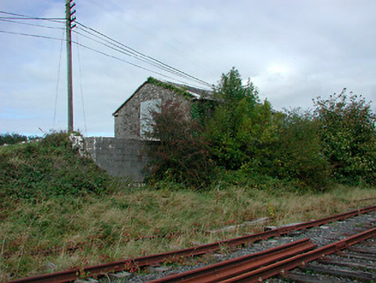 Castletown Railway Stationstore/warehouse · 682 yd
 Enclosure in KilleenEnclosure · 718 yd
 OutlinedFairy fort / earthen ringfort · 738 yd
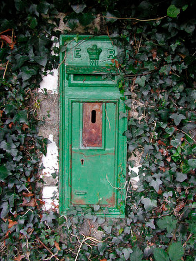 post boxpost box · 865 yd
 Adamstown Castle (in Ruins)Castle, tower house · 1002 yd
 Rathdrishoge CastleCastle, unclassified · 1519 yd
 Hill of UisneachMountain / peak · 2.6 mi
 European ashEuropean ash · 3.0 mi
 Sam's ParkForest · 3.4 mi
 KnockastiaMountain / peak · 5.0 mi
 St. Columba's WellSpring · 9.4 mi
 Moate HillMountain / peak · 9.6 mi
Other information
Photo: Credit not shown in the picture search · Rights wording not checked; contact us if this picture should be removed