
What is recorded here
Situated on a low, gradual rise, in pasture, to N of a small stream, with good views to E. Ringfort (WM025-123----) lies c. 55m to NE. Possible levelled monument described as no surface remains visible. There are old cultivation ridges across this area.
Compiled by Alison McQueen, Vera Rahilly and Caimin O’Brien.
Date of upload: 24 September 2019
A local fairy fort (ringfort/rath); wider significance not recorded.
The monument record does not grant public access. Check the route and ask the landowner before entering private land.
- What survives
- Recorded monument
Places near here
 Partially hachuredFairy fort / earthen ringfort · 69 yd
 Jamestown Courtfolly · 450 yd
 bridgebridge · 538 yd
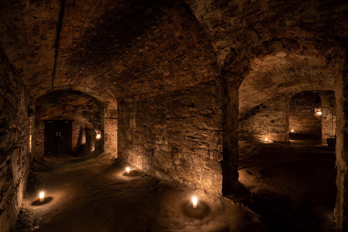 Man-made underground passage in Adamstown (moycashel By.)Man-made underground passage · 772 yd
 Adamstown Castle (in Ruins)Castle, tower house · 947 yd
 Carn CastleCastle · 1471 yd
 Hill of UisneachMountain / peak · 2.6 mi
 European ashEuropean ash · 3.0 mi
 Sam's ParkForest · 3.1 mi
 KnockastiaMountain / peak · 4.6 mi
 Moate HillMountain / peak · 9.2 mi
 Charles BianconiMemorial · 9.3 mi
Other information
Photo: Credit not shown in the picture search · Rights wording not checked; contact us if this picture should be removed