
What is recorded here
Situated on a slight rise, in gently undulating pasture, with extensive views to SE. Depicted on the 1837 OS 6-inch map as a subrectilinear-shaped earthwork and on the revised 1913 ed. OS 25-inch map as a portion of a roughly rectilinear-shaped earthwork defined by a field boundary to SW.
Monument described in 1971 as a subrectilinear-shaped earthwork on the NE side of a stone field fence running WNW-ESE. It is defined by a low and narrow bank of earth and stone which is reduced to a scarp at WNW and ESE. The bank is almost linear to NE and there is a slight corner at ENE. There are traces of internal stone facing. The original entrance is not recognisable. The interior has a gentle SSW-facing slope and the SSW quadrant has been quarried away. There is a house site (WM025-123001-) in the NNE quadrant and a curvilinear depression at N could be the remains of a possible Man-made underground passage (WM025-123002-). Other depressions at NNE and SW are probable quarry holes. There are no surface remains visible of the monument on the SSW side of the stone field fence, where a portion appears to have been removed by quarrying.
Compiled by Alison McQueen, Vera Rahilly and Caimin O’Brien.
Date of upload: 24 September 2019
A local fairy fort (ringfort/rath); wider significance not recorded.
The monument record does not grant public access. Check the route and ask the landowner before entering private land.
- What survives
- Recorded monument
Places near here
 Enclosure in KilleenEnclosure · 69 yd
 Jamestown Courtfolly · 519 yd
 bridgebridge · 572 yd
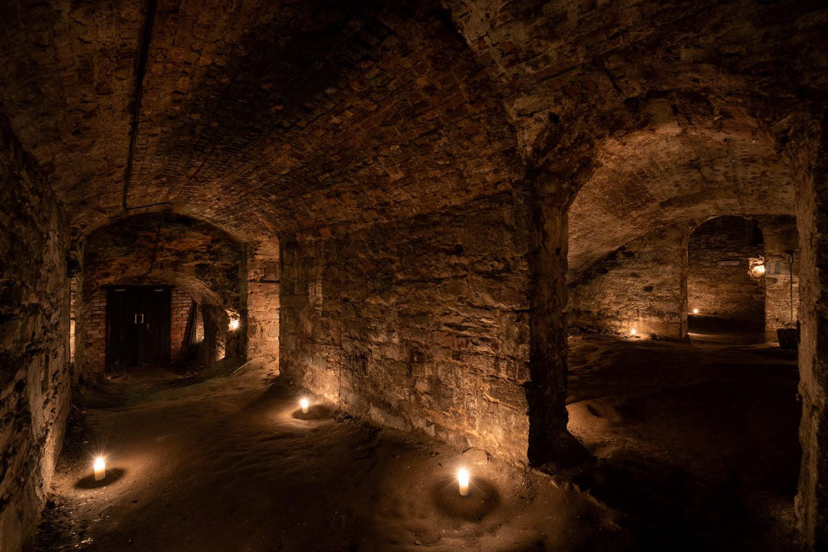 Man-made underground passage in Adamstown (moycashel By.)Man-made underground passage · 790 yd
 Adamstown Castle (in Ruins)Castle, tower house · 914 yd
 Carn CastleCastle · 1500 yd
 Hill of UisneachMountain / peak · 2.6 mi
 European ashEuropean ash · 3.0 mi
 Sam's ParkForest · 3.1 mi
 KnockastiaMountain / peak · 4.7 mi
 Moate HillMountain / peak · 9.3 mi
 Charles BianconiMemorial · 9.3 mi
Other information
Photo: Credit not shown in the picture search · Rights wording not checked; contact us if this picture should be removed