What is recorded here
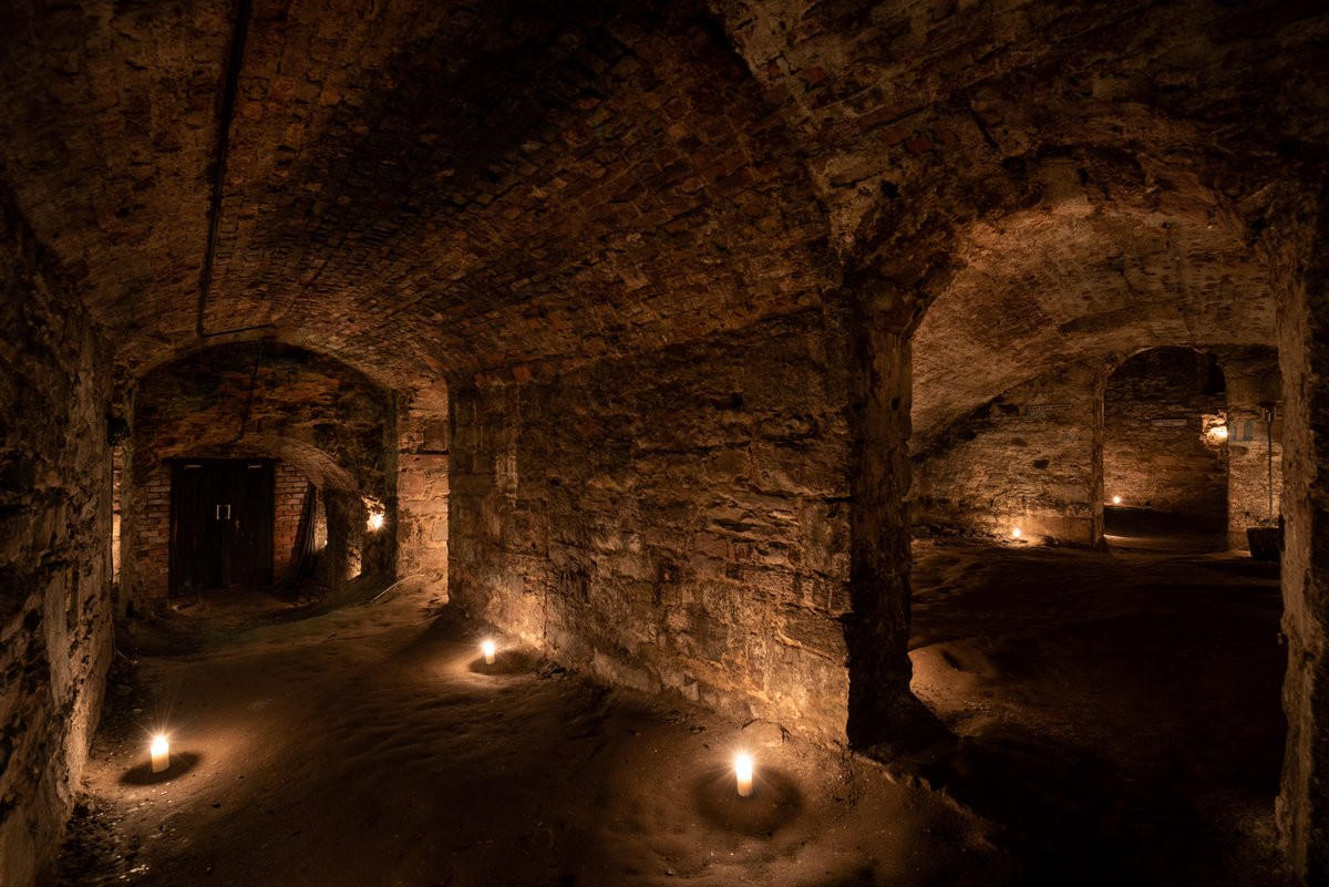
Situated on the top of a gentle rise, in gently undulating pasture, with extensive views to E, S and SW. In NE quadrant of ringfort (WM025-129----) immediately inside the bank at NE, is a roughly circular-shaped, shallow depression (max. diam. 3.8m). It has vague traces of a narrower depression (max. Wth 2.5m) extending (approx. L 3m) from it, to SE. These may represent a collapsed Man-made underground passage
Compiled by Alison McQueen, Vera Rahilly and Caimin O’Brien.
Date of upload: 24 September 2019
The monument record does not grant public access. Check the route and ask the landowner before entering private land.
- What survives
- Recorded monument
Places near here
 bridgebridge · 279 yd
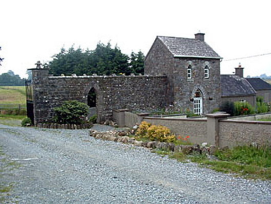 Jamestown Courtgate lodge · 336 yd
 Adamstown Castle (in Ruins)Castle, tower house · 651 yd
 Enclosure in KilleenEnclosure · 772 yd
 Partially hachuredFairy fort / earthen ringfort · 790 yd
 Rathdrishoge CastleCastle, unclassified · 1.0 mi
 Hill of UisneachMountain / peak · 3.1 mi
 Sam's ParkForest · 3.3 mi
 European ashEuropean ash · 3.4 mi
 KnockastiaMountain / peak · 4.7 mi
 Moate HillMountain / peak · 9.2 mi
 Charles BianconiMemorial · 9.3 mi
Other information
Photo: Credit not shown in the picture search · Rights wording not checked; contact us if this picture should be removed