
What is recorded here
Detached five-bay single-storey national school, dated 1846, on a rectangular plan originally with single-bay single-storey lean-to recessed lower porches. Closed, 1909. Now disused. Hipped slate roof on collared timber construction with clay ridge tiles, and remains of cast-iron rainwater goods on rendered slate flagged eaves. Part creeper- or ivy-covered rendered coursed rubble stone walls centred on cut-limestone date stone ("1846"). Square-headed window openings with broken sills, and red brick block-and-start surrounds framing concrete block infill replacing nine-over-nine timber sash windows. Set back from line of road with overgrown verge to front.
A national school representing an integral component of the mid nineteenth-century built heritage of County Waterford.
From the Buildings of Ireland (National Inventory of Architectural Heritage) record 22900304
This does not grant access. Most recorded buildings are privately owned; view them only from public ground unless the owner allows entry.
Places near here
Grave YardGraveyard · 167 ydEnclosure in CarrowleighEnclosure · 268 yd Knocknacreha HouseFarm house · 376 ydgraveyard/cemetery556 ydCoolnamuck Castle (in Ruins)Castle, tower house · 2.8 miCastleCastle, tower house · 3.8 miKnockanaffrinMountain / peak · 3.8 miKnocksheegownaMountain / peak · 4.0 miPedunculate Oak4.2 miCoumshingaunMountain corrie and lake · 4.3 miOrmonde CastleHeritage attraction · 4.6 miLarge-leaved Lime5.0 mi
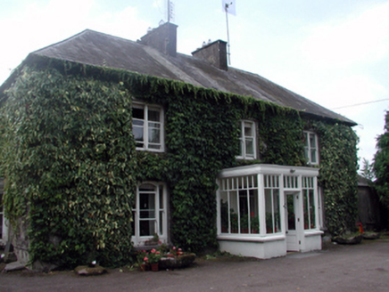 Knocknacreha HouseFarm house · 376 yd
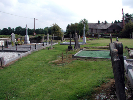 graveyard/cemetery556 yd
 Coolnamuck Castle (in Ruins)Castle, tower house · 2.8 mi
 CastleCastle, tower house · 3.8 mi
 KnockanaffrinMountain / peak · 3.8 mi
 KnocksheegownaMountain / peak · 4.0 mi
 Pedunculate Oak4.2 mi
 CoumshingaunMountain corrie and lake · 4.3 mi
 Ormonde CastleHeritage attraction · 4.6 mi
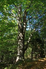 Large-leaved Lime5.0 mi
Pictures: National Inventory of Architectural Heritage; John M, Geograph · CC BY-SA 2.0; ethics girl, Geograph · CC BY-SA 2.0; Colin Park, Geograph · CC BY-SA 2.0; Algirdas at Lithuanian Wikipedia, Wikimedia Commons · Public domain; Kevin O'Brien 13, Wikimedia Commons · CC BY-SA 4.0; Humphrey Bolton, Wikimedia Commons · CC BY-SA 2.0; Chmee2, Wikimedia Commons · CC BY-SA 3.0
More historic places in County Waterford · All of County Waterford
What do you know about this place?