What is recorded here
Marked as an enclosure (diam. c. 40m) on the 1840 and 1926 eds. of the OS 6-inch map, and situated on a shoulder of a NE-facing slope. Circular grass-covered area (dims. 31m NE-SW; 29m NW-SE) defined by an earthen bank (Wth 2-3m; ext. H 0.4-0.8m). There is no visible fosse but the entrance (Wth 2.8m) is at SE and mature deciduous trees grow on the perimeter SE-NW. It is a possible landscape feature with a farmhouse c. 40m to the SE.
Marked as an enclosure (diam. c. 40m) on the 1840 and 1926 eds. of the OS 6-inch map, and situated on a shoulder of a NE-facing slope. Circular grass-covered area (dims. 31m NE-SW; 29m NW-SE) defined by an earthen bank (Wth 2-3m; ext. H 0.4-0.8m). There is no visible fosse but the entrance (Wth 2.8m) is at SE and mature deciduous trees grow on the perimeter SE-NW. It is a possible landscape feature with a…
From the National Monuments Service (Archaeological Survey of Ireland) record WA003-041
The monument record does not grant public access. Check the route and ask the landowner before entering private land.
- What survives
- Recorded monument
Places near here
IndicatedFairy fort / ringfort · 154 ydGrave YardGraveyard · 220 yd Rathgormuck National SchoolSchool · 268 ydgraveyard/cemetery471 ydCoolnamuck Castle (in Ruins)Castle, tower house · 2.7 miCastleCastle, tower house · 3.6 miKnockanaffrinMountain / peak · 3.9 miKnocksheegownaMountain / peak · 4.1 miPedunculate Oak4.3 miCoumshingaunMountain corrie and lake · 4.3 miOrmonde CastleHeritage attraction · 4.5 miLarge-leaved Lime5.1 mi
 Rathgormuck National SchoolSchool · 268 yd
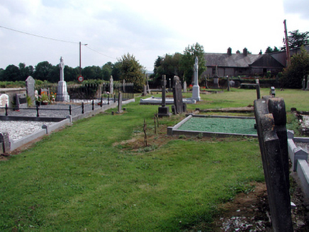 graveyard/cemetery471 yd
 Coolnamuck Castle (in Ruins)Castle, tower house · 2.7 mi
 CastleCastle, tower house · 3.6 mi
 KnockanaffrinMountain / peak · 3.9 mi
 KnocksheegownaMountain / peak · 4.1 mi
 Pedunculate Oak4.3 mi
 CoumshingaunMountain corrie and lake · 4.3 mi
 Ormonde CastleHeritage attraction · 4.5 mi
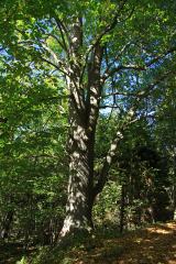 Large-leaved Lime5.1 mi
Pictures: National Inventory of Architectural Heritage; John M, Geograph · CC BY-SA 2.0; ethics girl, Geograph · CC BY-SA 2.0; Colin Park, Geograph · CC BY-SA 2.0; Algirdas at Lithuanian Wikipedia, Wikimedia Commons · Public domain; Kevin O'Brien 13, Wikimedia Commons · CC BY-SA 4.0; Humphrey Bolton, Wikimedia Commons · CC BY-SA 2.0; Chmee2, Wikimedia Commons · CC BY-SA 3.0
More archaeology and monuments in County Waterford · All of County Waterford
What do you know about this place?