What is recorded here
Situated on a NE-facing slope. The parish church of Rathgormuck (WA003-040001-) is within a triangular graveyard (max. dims. c. 60m E-W; c. 80m N-S) defined by a stone-clad earthen bank, but the graveyard was probably truncated diagonally by a NE-SW roadway at NW. A rectangular bullaun stone (WA003-039003-) is built into the graveyard wall at the roadside. A tower house (WA003-039001-) is c. 100m to N. (Power 1896b, 14-15)
Power, P. (1896b) The ancient ruined churches of Waterford. WAJ. 2, 2-15, 195-298.
Situated on a NE-facing slope. The parish church of Rathgormuck (WA003-040001-) is within a triangular graveyard (max. dims. c. 60m E-W; c. 80m N-S) defined by a stone-clad earthen bank, but the graveyard was probably truncated diagonally by a NE-SW roadway at NW. A rectangular bullaun stone (WA003-039003-) is built into the graveyard wall at the roadside. A tower house (WA003-039001-) is c. 100m to N. (Power…
From the National Monuments Service (Archaeological Survey of Ireland) record WA003-040002
The monument record does not grant public access. Check the route and ask the landowner before entering private land.
- What survives
- Recorded monument
Places near here
 Rathgormuck National SchoolSchool · 167 ydEnclosure in CarrowleighEnclosure · 220 ydIndicatedFairy fort / ringfort · 372 yd
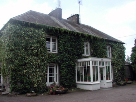 Knocknacreha HouseFarm house · 542 yd
 Coolnamuck Castle (in Ruins)Castle, tower house · 2.7 mi
 CastleCastle, tower house · 3.8 mi
 KnockanaffrinMountain / peak · 3.9 mi
 KnocksheegownaMountain / peak · 4.1 mi
 Pedunculate Oak4.2 mi
 CoumshingaunMountain corrie and lake · 4.4 mi
 Ormonde CastleHeritage attraction · 4.5 mi
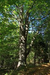 Large-leaved Lime5.0 mi
Pictures: National Inventory of Architectural Heritage; John M, Geograph · CC BY-SA 2.0; ethics girl, Geograph · CC BY-SA 2.0; Colin Park, Geograph · CC BY-SA 2.0; Algirdas at Lithuanian Wikipedia, Wikimedia Commons · Public domain; Kevin O'Brien 13, Wikimedia Commons · CC BY-SA 4.0; Humphrey Bolton, Wikimedia Commons · CC BY-SA 2.0; Chmee2, Wikimedia Commons · CC BY-SA 3.0
More archaeology and monuments in County Waterford · All of County Waterford
What do you know about this place?