
What is recorded here
In fallow arable field, ploughed right up to edge of monument. On top of low rise at spot height 268ft. Raised circular area (dims. c. 46.3m N-S; c. 44m E-W) defined by earthen bank (Wth 5.1m; int. H 0.6m; ext. H 1.55m). Possible modification of exterior of bank on E side. Interior rises upwards gradually from base of bank to raised (H 0.65m) circular area (dims. c. 36m N-S; c. 34m E-W) which tilts gently downwards to SE. Possible that this is original interior and that internal bank has been levelled into a possible intervening fosse (Wth 5.1m; D 0.5m), leaving the slight depression around the raised circular area within interior. Furthermore, steep drop to deep fosse like feature within E edge of interior. Ringfort (TS068-038----) intervisible c. 135m to NW and ringfort (TS068-040----) intervisible c. 285m to SE.
Compiled by: Jean Farrelly
Date of upload: 26 August 2011
Rathgallen is a circular earthen ringfort, likely dating to the early medieval period, characterized by a raised central area surrounded by a substantial bank. Local folklore, though not detailed in records, often associates such sites with fairy legends or ancient settlements.
The monument record does not grant public access. Check the route and ask the landowner before entering private land.
- What survives
- Recorded monument
Places near here
 RathcooleFairy fort / earthen ringfort · 446 yd
 LisgibbonEnclosure · 997 yd
 New Bridgebridge · 1212 yd
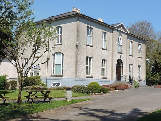 Cuan Mhuirecountry house · 1570 yd
 Suir CastleCastle · 1707 yd
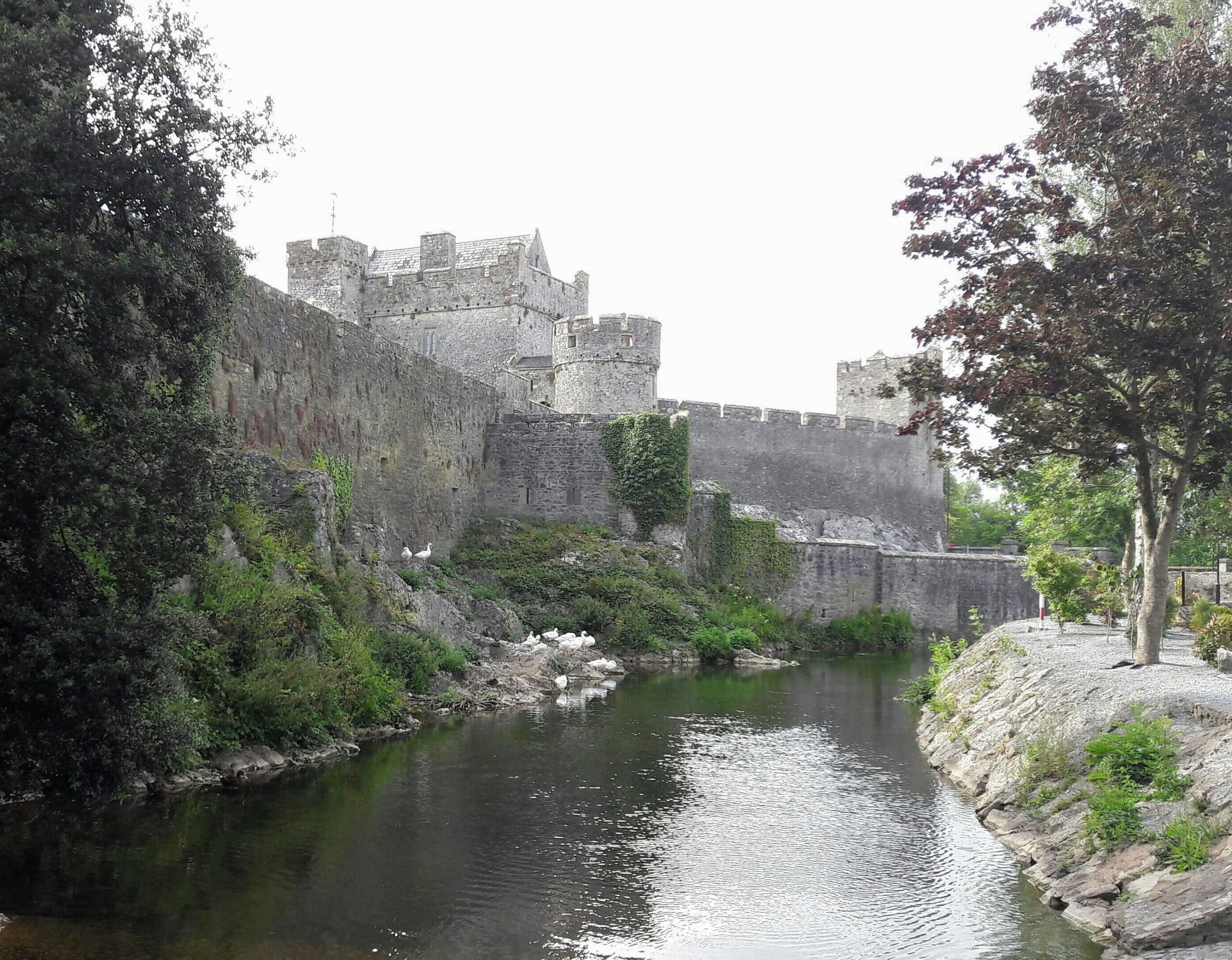 Ballymacady CastleCastle · 1.3 mi
 Athassel PrioryHeritage attraction · 1.8 mi
 Caucasian zelkovaCaucasian zelkova · 3.6 mi
 Pedunculate OakPedunculate Oak · 3.7 mi
 Slieveanard NE TopMountain / peak · 4.9 mi
 SturrakeenMountain / peak · 5.1 mi
 The RockViewpoint · 6.2 mi
Other information
Photo: Credit not shown in the picture search · Rights wording not checked; contact us if this picture should be removed