What is recorded here
In level pasture. Circular area (dims. c. 28m NW-SE; c. 21m NE-SW) defined by scarped edge with external fosse N-SE. No evidence for bank outside fosse. Interior level and slightly raised. Field boundary truncates site from NW-SE, removing SW area, the N24 south of Bansha runs through this area. Mound (TS067-080----) located c. 600m to SW; enclosure (TS067-077----) located 1.45km to WNW.
See attached:
TS067-079----_01 From the SE
Compiled by: Jean Farrelly
Date of upload: 26 August 2011
The monument record does not grant public access. Check the route and ask the landowner before entering private land.
- What survives
- Recorded monument
Places near here
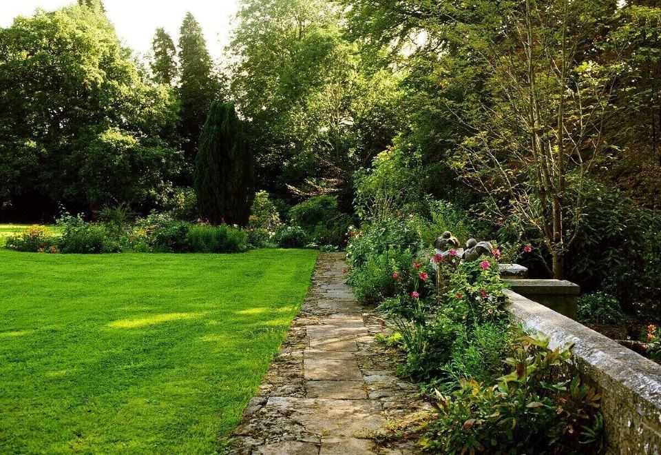 Enclosure in LismacueEnclosure · 824 yd
 Lismacue Housecountry house · 1251 yd
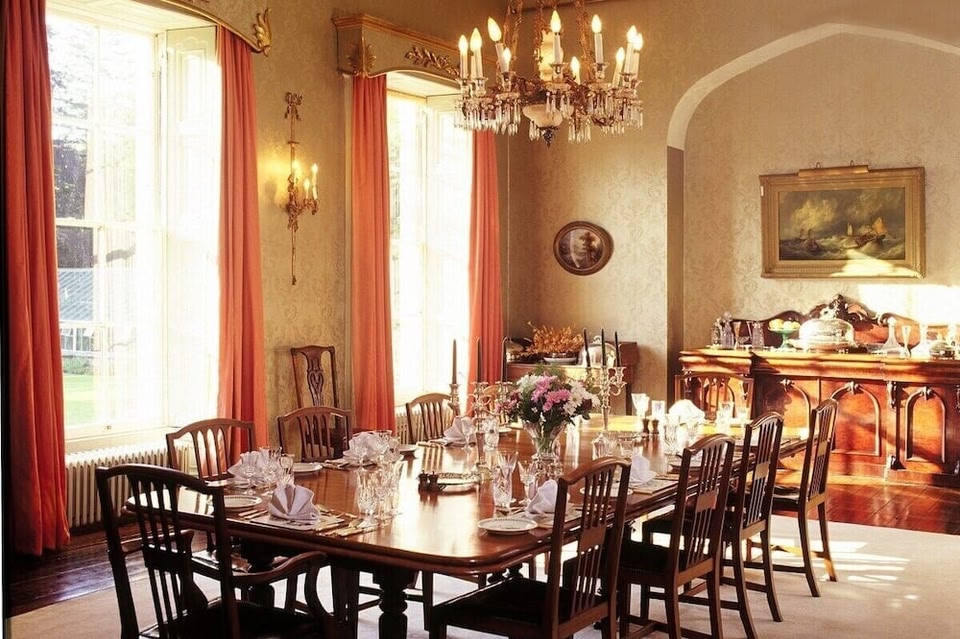 LismacueEnclosure · 1549 yd
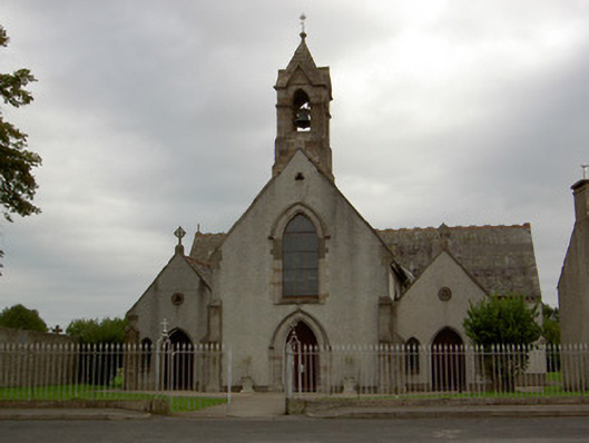 Catholic Church of the Annunciationchurch/chapel · 1735 yd
 Castle (in ruins)Castle, unclassified · 1.3 mi
 Bansha CastleCastle · 1.3 mi
 Pedunculate OakPedunculate Oak · 2.1 mi
 TuliptreeTuliptree · 2.1 mi
 SturrakeenMountain / peak · 3.3 mi
 Laghtshanaquilla North-East TopMountain / peak · 3.8 mi
 The RockViewpoint · 4.6 mi
 I.R.A. 3rd. Tipperary Brigade MemorialMemorial · 5.0 mi