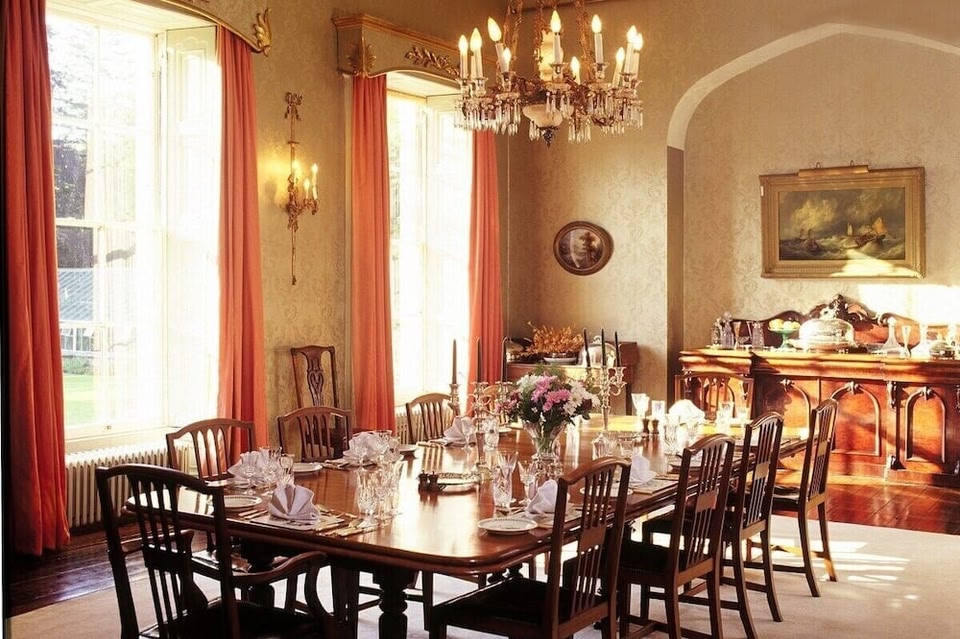
What is recorded here
In gently undulating pasture atop low rise. Circular area (dims. 23m N-S; 21m E-W) defined by earthen bank (Wth at crest 3.5m; Wth at base 9m; H above int. 0.4m; H above ext. 1.4m). The bank is slightly denuded in the NNE. There is a cedar tree growing at the edge of the bank in the SE quadrant. Possible entrance (Wth 3m) at S. Traces of external fosse (Wth 4.25-6m; D 0.2m). Interior flat and level.
Compiled by: Jean Farrelly
Date of upload: 11 June 2014
A local fairy fort (ringfort/rath); wider significance not recorded.
The monument record does not grant public access. Check the route and ask the landowner before entering private land.
- What survives
- Recorded monument
Places near here
 Lismacue Housecountry house · 527 yd
 Enclosure in TemplenahurneyEnclosure · 664 yd
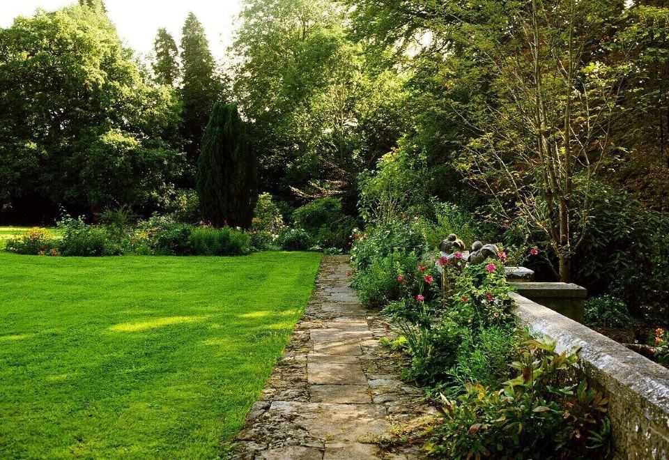 Enclosure in LismacueEnclosure · 799 yd
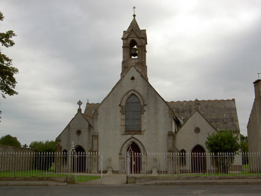 Catholic Church of the Annunciationchurch/chapel · 1361 yd
 Castle (in ruins)Castle, unclassified · 1685 yd
 Bansha CastleCastle · 1.1 mi
 Pedunculate OakPedunculate Oak · 2.9 mi
 TuliptreeTuliptree · 2.9 mi
 SturrakeenMountain / peak · 4.2 mi
 I.R.A. 3rd. Tipperary Brigade MemorialMemorial · 4.6 mi
 Slieveanard NE TopMountain / peak · 4.7 mi
 The RockViewpoint · 4.8 mi
Other information
Photo: Credit not shown in the picture search · Rights wording not checked; contact us if this picture should be removed