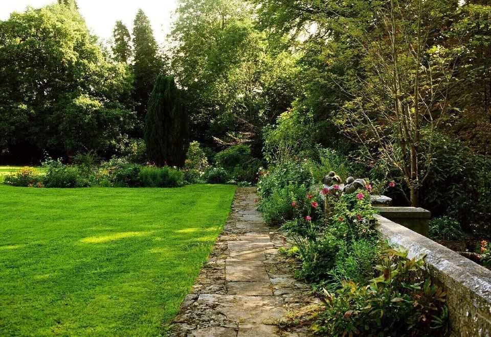
What is recorded here
In level pasture, to SE of field boundary. Not visible at ground level. Identified by aerial photo (Ref. R. 513/12) as a circular area (diam c. 35m) with linear feature (L 70m) to SW.
Compiled by: Jean Farrelly
Date of upload: 26 August 2011
A local fairy fort (ringfort/rath); wider significance not recorded.
The monument record does not grant public access. Check the route and ask the landowner before entering private land.
- What survives
- Recorded monument
Places near here
 Lismacue Housecountry house · 427 yd
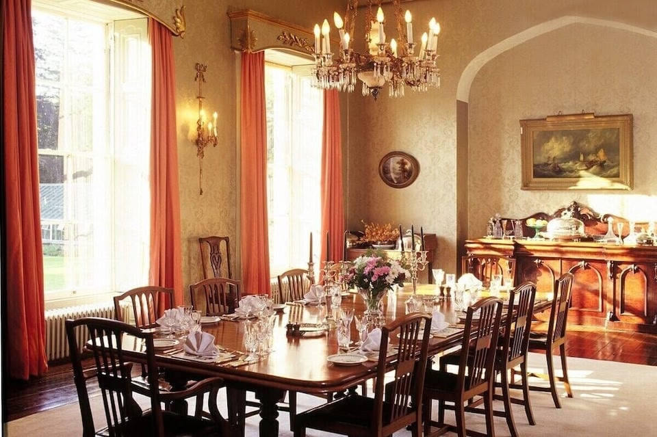 LismacueEnclosure · 799 yd
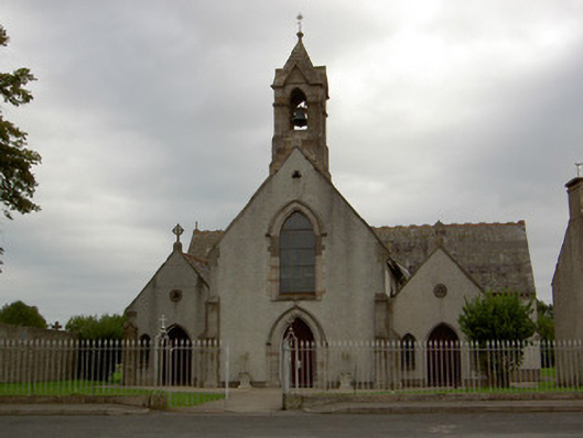 Catholic Church of the Annunciationchurch/chapel · 1119 yd
 Enclosure in TemplenahurneyEnclosure · 1361 yd
 Castle (in ruins)Castle, unclassified · 1598 yd
 Bansha CastleCastle · 1722 yd
 Pedunculate OakPedunculate Oak · 2.6 mi
 TuliptreeTuliptree · 2.6 mi
 SturrakeenMountain / peak · 3.7 mi
 Laghtshanaquilla North-East TopMountain / peak · 4.2 mi
 The RockViewpoint · 4.6 mi
 I.R.A. 3rd. Tipperary Brigade MemorialMemorial · 4.6 mi
Other information
Photo: Credit not shown in the picture search · Rights wording not checked; contact us if this picture should be removed