
What is recorded here
In level pasture, to E of poorly drained marginal area. Good views all around. Raised circular area (diam. c. 34m) defined by scarp (Wth c. 4m; H c. 1.3m). Scarp incorporated into field boundary NE-E-S. Possible entrance at S, slightly denuded. Scarp lower at N and interior is only marginally higher than external field level. Parts of interior inaccessible due to growth of whitethorn and ash trees with dense undergrowth.
Compiled by: Jean Farrelly
Date of upload: 26 August 2011
A local fairy fort (ringfort/rath); wider significance not recorded.
The monument record does not grant public access. Check the route and ask the landowner before entering private land.
- What survives
- Recorded monument
Places near here
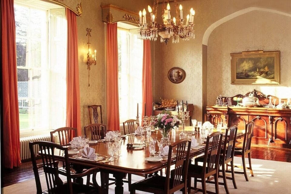 LismacueEnclosure · 664 yd
 Lismacue Housecountry house · 962 yd
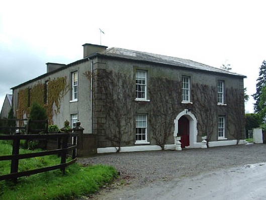 Bansha Housecountry house · 1015 yd
 Enclosure in Thomastown Demesne SouthEnclosure · 1025 yd
 Castle (in ruins)Castle, unclassified · 1548 yd
 Bansha CastleCastle · 1.0 mi
 Bansha ForestForest · 2.9 mi
 European ashEuropean ash · 3.0 mi
 I.R.A. 3rd. Tipperary Brigade MemorialMemorial · 4.4 mi
 SturrakeenMountain / peak · 4.5 mi
 The RockViewpoint · 4.8 mi
 It's a long way to TippereryHeritage attraction · 4.9 mi
Other information
Photo: Credit not shown in the picture search · Rights wording not checked; contact us if this picture should be removed