
What is recorded here
Immediately W of the main road through Bansha and at the northern end of the town. The River Ara flows due SE to the E of the road and it was channelled for a mill race at some stage. The earliest reference to this castle is in the early 17th century. A lease dated 1610 specfies that the incumbent of the property was to build two new storeys onto the tower, and turrets and flankers for defence (Cairns 1987, 19). The Civil Survey (1654-6) refers to 'Donnogh mc Grath' an 'Irish Papist' as the proprietor in 1640 and describes that 'Uppon thsse lands stands a castle in Banshigh wanting repayre' (Simington 1934, vol. 2, 20). O'Donovan visited the monument in the 1840s and described it as '...one tower of a large fortress', of which only two fragments of the walling then remained (O'Flanagan 1930, vol. 1, 12-13). The castle, which may be a circular tower house, is composed of roughly coursed sandstone rubble (diam. c. 7m NW-SE; wall T 3m; H c. 5m above surrounding field level), with patches of external lime render surviving. Only two portions of walling survive, from NW-N-NE and from E-SE, both to first-floor level. The floor of the first floor was supported on an offset (T 0.15-0.2m). Among the extant features of the tower are the remains of semi-circular stair-turret at NW, though no steps survive. N of the stair-turret there is a window embrasure (Wth 2.5m; D of inner embrasure 1.2m) with an outer smaller splayed embrasure. The internal ground level is very built up as the head of the window embrasure is 0.5m above the present internal ground level. In the SE quadrant there is another window embrasure, though the head of this embrasure is currently only 0.3m above the internal ground level. The masonry of the E half of the tower has been squared to accommodate a grotto built in 1954 and its exterior has been faced with quartz on this side. A mass-concrete buttress was built up against the internal face of the eastern aspect in order to provide additional support to the grotto structure. The interior is filled with debris and collapse material. There is a high concrete block wall 2m SE of the external wall of the castle built c. 2005. An armorial plaque (TS067-126----) to Edmond Butler is inserted in the external wall of Bansha Castle house, c. 250m to the SE.
Compiled by: Jean Farrelly
Date of upload: 26 August 2011
Built in the 13th century by the FitzGerald family, the influential Norman lords of Kildare, Castle Bansha West was an important strategic outpost in the expansion of Norman control into the midlands of Ireland. Its location near the River Ara and main travel routes highlights its role in regional defense and administration.
The monument record does not grant public access. Check the route and ask the landowner before entering private land.
- What survives
- Recorded monument
Places near here
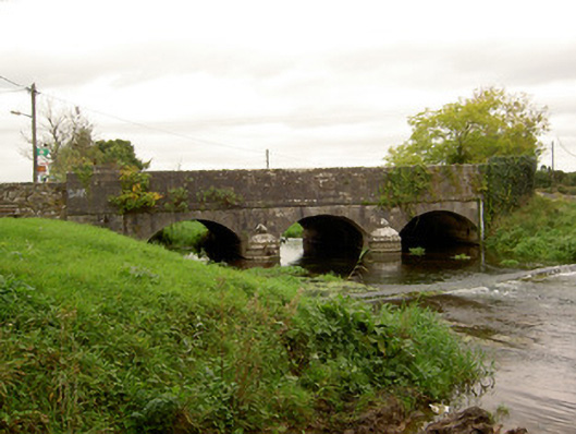 Bansha Bridgebridge · 152 yd
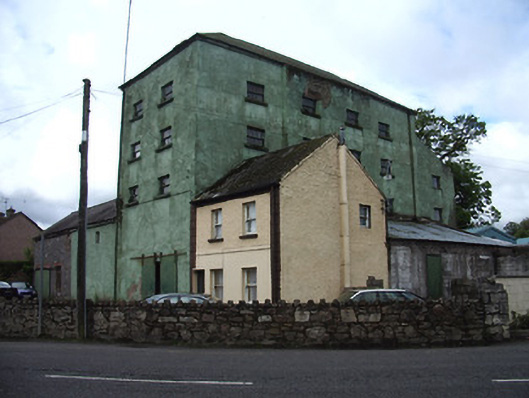 mill (water)mill (water) · 177 yd
 Settlement cluster in Ballinlough East,bansha WestSettlement cluster · 216 yd
 Bansha CastleCastle · 278 yd
 IndicatedHilltop enclosure · 1364 yd
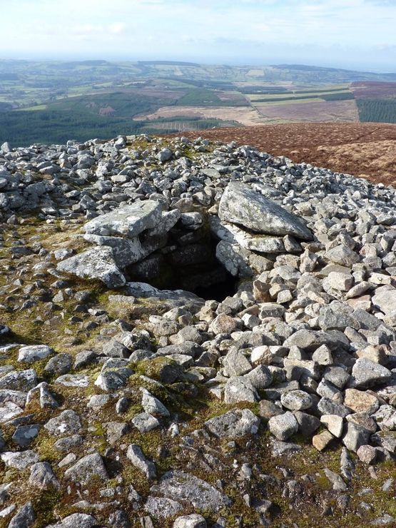 Site of Seefin CastleCastle, unclassified · 1.5 mi
 Bansha ForestForest · 2.0 mi
 European ashEuropean ash · 2.7 mi
 I.R.A. 3rd. Tipperary Brigade MemorialMemorial · 3.7 mi
 The RockViewpoint · 3.9 mi
 It's a long way to TippereryHeritage attraction · 4.2 mi
 SturrakeenMountain / peak · 4.3 mi
Other information
Photo: Credit not shown in the picture search · Rights wording not checked; contact us if this picture should be removed