
What is recorded here
In gently undulating pasture, on a generally level area with gentle downslope to N, E and S. Raised circular area (diam. c. 45m) defined by earthen bank (Wth 9.6m; int. H 0.35m; ext. H 2m). Flat-bottomed intervening fosse (basal Wth 2.4m; total Wth 12.6m; D 0.6m). Wide berm (int. Wth 2.6m; top Wth 10m; ext. Wth 4m; int. H 0.6m; ext. H 0.9m) is flat-topped and visible E-SE-S due to overgrowth. Possible that this is relatively recent formation where two banks have been pushed into one wide berm feature, as grass cover is fresh here. Difficult to confirm as berm only visible on SE side, however two banks and an intervening fosse are visible WSW-NW instead of berm. Wide outer fosse (total Wth 9m; basal Wth 4.5m; D 0.5m) SE-S-W-NW defined by mature thorn trees on outer edge. Entire site covered in over and undergrowth and only accessible in SE quadrant. Interior inaccessible, even from SE, however appears to slope downwards to NNE. Possible entrance at WNW. Ringfort fenced-off from cattle, although round feeder in SE corner, just outside ringfort. Farm track way at a tangent to S side. Mound (TS068-142----) c. 135m to SW and ringfort (TS068-039----) intervisible c. 315m to SSE.
Compiled by: Jean Farrelly
Date of upload: 26 August 2011
A local fairy fort (ringfort/rath); wider significance not recorded.
The monument record does not grant public access. Check the route and ask the landowner before entering private land.
- What survives
- Recorded monument
Places near here
 RathgallenFairy fort / earthen ringfort · 446 yd
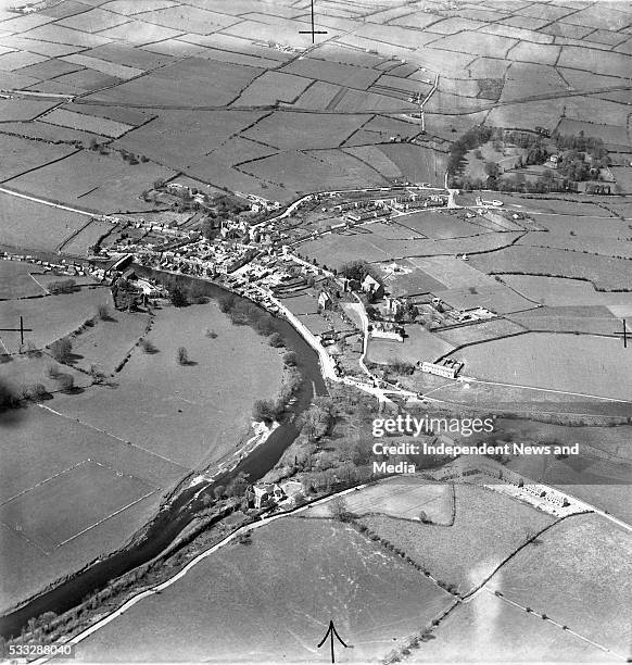 Enclosure in Thomastown Demesne SouthEnclosure · 934 yd
 New Bridgebridge · 1430 yd
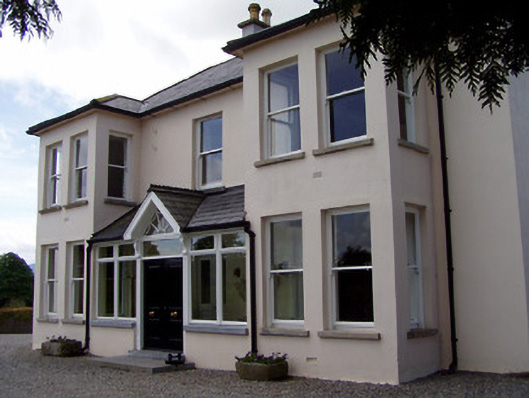 Rathduff Househouse · 1613 yd
 Suir CastleCastle · 1621 yd
 CastleCastle, ringwork · 1.1 mi
 Athassel PrioryHeritage attraction · 1.7 mi
 Caucasian zelkovaCaucasian zelkova · 3.8 mi
 European ashEuropean ash · 3.8 mi
 SturrakeenMountain / peak · 5.3 mi
 Laghtshanaquilla North-East TopMountain / peak · 5.9 mi
 The RockViewpoint · 6.2 mi
Other information
Photo: Credit not shown in the picture search · Rights wording not checked; contact us if this picture should be removed