
What is recorded here
From the National Monuments Service (Archaeological Survey of Ireland) record CO051-134002
Places near here
Photo credits
- Jonathan Thacker, Geograph · Creative Commons Attribution-ShareAlike 2.0
- National Inventory of Architectural Heritage
- Maker not stated on source page, pixels.com
- Jim Coughlan / EchoLive, www.echolive.ie
- Maker not stated on source page, veri-art.net
- Maker not stated on source page, readymap.irish
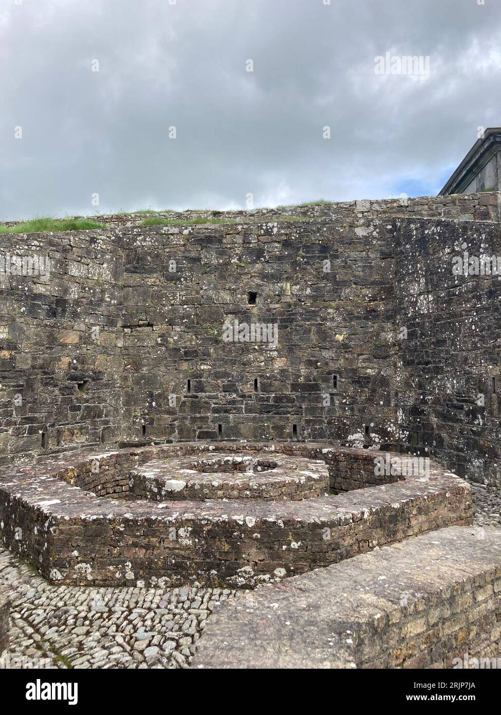
- Maker not stated on source page, www.alamy.com
- Maker not stated on source page, www.youtube.com
- Kmcnamee, Wikimedia Commons · CC BY-SA 4.0
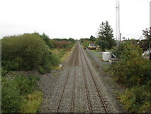 Rathduff Railway StationRailway station · 94 yd
Explorer Tom Rathduff Railway Station on the Dublin to Cork line was once part of the network but now just stands there looking…
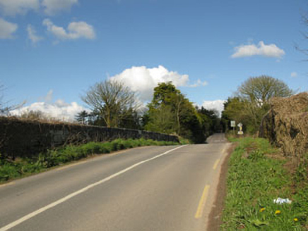 bridge236 yd
Explorer Tom Bridge in Rathduff is humpbacked and carries roads over the railway line from 1845. It’s got tooled limestone…
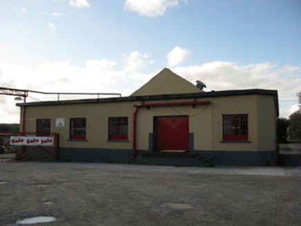 Rathduff CreameryCreamery · 419 yd
Explorer Tom Rathduff Creamery in Rathduff is hiding its cream under a concrete apron. Built around 1920, it looks like a sturdy box…
 Fairy fort / earthen ringfort in Grenagh SouthFairy fort / earthen ringfort · 1045 yd
Explorer Tom This ringfort in Grenagh South has a massive bank, over two and a half metres high! It’s got an external fosse too…
 St Laghteen's Roman Catholic ChurchChurch/chapel · 1313 yd
Explorer Tom St Laghteen's Roman Catholic Church is plain on the outside but hiding a fancy reredos inside like it’s got a secret…
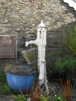 water pump1343 yd
Explorer Tom Water pump in Grenagh South would review you like a picky food critic. '3/5 stars, handle was slippery, water was…
 Grenagh GAA pitchGAA ground · 1532 yd
 Church (in Ruins)Church · 1560 yd
Explorer Tom Grenagh North Church has an ivy-clad gable that looks like it's trying to hug the wall tighter. There's a window…
 Saint Lachteen's CemeteryCemetery · 1580 yd
Explorer Tom Saint Lachteen's Cemetery is deeply suspicious of the postman because he keeps dropping letters that nobody seems to…
 Fairy fort / earthen ringfort in Ballyvaloon (barretts By.)Fairy fort / earthen ringfort · 1.0 mi
Explorer Tom Fairy fort / earthen ringfort in Ballyvaloon is in tillage, so it’s getting ploughed by farmers. Aerial photos show…
 Daviss CastleCastle, Anglo-Norman masonry castle · 1.9 mi
Explorer Tom Daviss Castle in Ballymorisheen is actually a two-storey house with modern windows and a pyramidal roof. It has…
 Whitechurch GAA pitchGAA ground · 3.3 mi
More archaeology and monuments in County Cork · All of County Cork

What do you know about this place?Tap to add a comment or ask a question