
What is recorded here
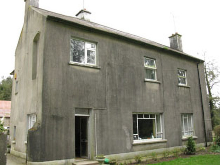
Residential 2-storey gable-ended house (13m E-W; 5.9m N-S) with projection to rear (N). Entrance front (S) of 3 bays; irregular fenestration with enlarged modern windows; door ope at W end recently inserted which, according to owner, replaced earlier "rounded" window. Windows have been modernized throughout; according…
Read the whole record
From the National Monuments Service (Archaeological Survey of Ireland) record CO051-094
Places near here
Photo credits
- National Inventory of Architectural Heritage
- Maker not stated on source page, it.pinterest.com
- Jim Coughlan / EchoLive, www.echolive.ie
- Maker not stated on source page, readymap.irish
- Maker not stated on source page, veri-art.net
- Maker not stated on source page, www.irishtimes.com
- Maker not stated on source page, commons.wikimedia.org
- Golfing in Ireland; photographer not stated, Source publisher
- Kmcnamee, Wikimedia Commons · CC BY-SA 4.0
- Maker not stated on source page, www.dreamstime.com
 Davis CastleHouse · 8 yd
Explorer Tom Davis Castle in Ballymorisheen might have started as a tower house, but it’s definitely a mystery now. The thick east…
 farm house1620 yd
Explorer Tom Farm house in Ballymorisheen is a vernacular gem from around 1800 with a corrugated-iron roof that replaced the…
 Fairy fort / earthen ringfort in Garraun NorthFairy fort / earthen ringfort · 1660 yd
Explorer Tom Fairy fort / earthen ringfort in Garraun North is huge, nearly sixty meters across, with farm machinery driving…
 Grenagh GAA pitchGAA ground · 1.0 mi
 Saint Lachteen's CemeteryCemetery · 1.1 mi
Explorer Tom Saint Lachteen's Cemetery is deeply suspicious of the postman because he keeps dropping letters that nobody seems to…
 Church (in Ruins)Church · 1.1 mi
Explorer Tom Grenagh North Church has an ivy-clad gable that looks like it's trying to hug the wall tighter. There's a window…
 Fairy fort / earthen ringfort in Pluckanes NorthFairy fort / earthen ringfort · 1.5 mi
Explorer Tom Fairy fort / earthen ringfort in Pluckanes North is currently being used as a foundation for farm buildings. The fairy…
 Castle View HouseFarm house · 2.2 mi
Explorer Tom Castle View House is sitting empty in Garraun South with a religious tile above the door that’s definitely praying for…
 Donoughmore GAA pitchGAA ground · 4.1 mi
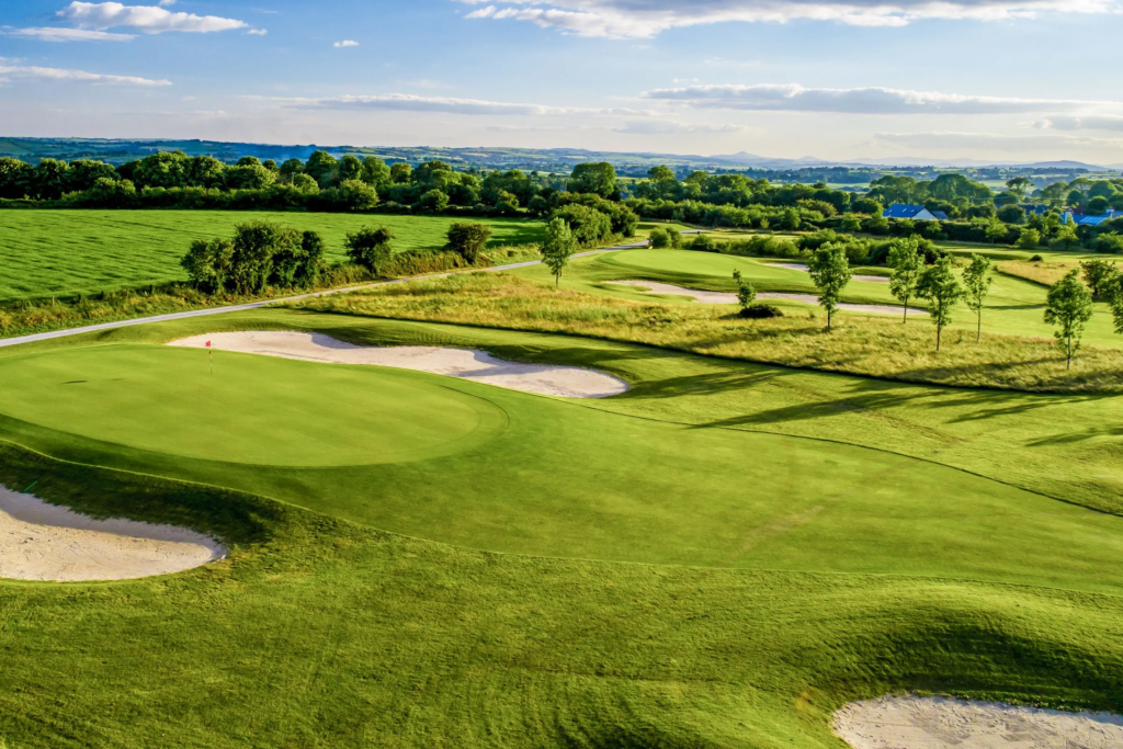 Blarney Golf ClubGolf course · 4.7 mi
 Whitechurch GAA pitchGAA ground · 4.8 mi
 Fairy fort / earthen ringfort in ReagrellaghFairy fort / earthen ringfort · 5.1 mi
Explorer Tom This Reagrellagh enclosure has an imaginary fan club that meets every Tuesday at noon. Only one side of the bank…
More castles and forts in County Cork · All of County Cork

What do you know about this place?Tap to add a comment or ask a question