What is recorded here
Annotated ‘Old Quarry’ on the 1837 ed. OSi 6-inch map, where it is depicted as a rectangular shaped area. Quarry not indicated on subsequent editions of the OSi historic maps. No surface remains visible of filled in quarry which is now an area of modern housing that is visible on 2013-18 MapGenie orthoimages.
Compiled by: Caimin O'Brien
The monument record does not grant public access. Check the route and ask the landowner before entering private land.
- What survives
- Recorded monument
Places near here
 Midden in RobswallsMidden · 291 yd
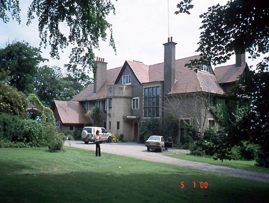 Seamount Househouse · 329 yd
 Prehistoric sitePrehistoric site, lithic scatter · 356 yd
 ChurchRuins · 475 yd
 MoatCastle, motte and bailey · 811 yd
 Black WoodWood · 873 yd
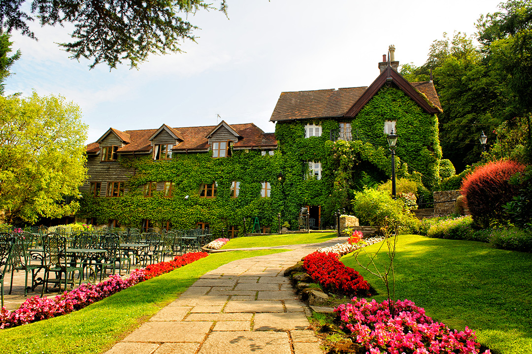 High RockViewpoint · 1002 yd
 Malahide BeachBeach / strand · 1067 yd
 Malahide DemesneVisitor information · 1.0 mi
 Casino Model Railway MuseumMuseum · 1.2 mi
 Malahide Castle Demesne Church (Ruin)Ruins · 1.2 mi
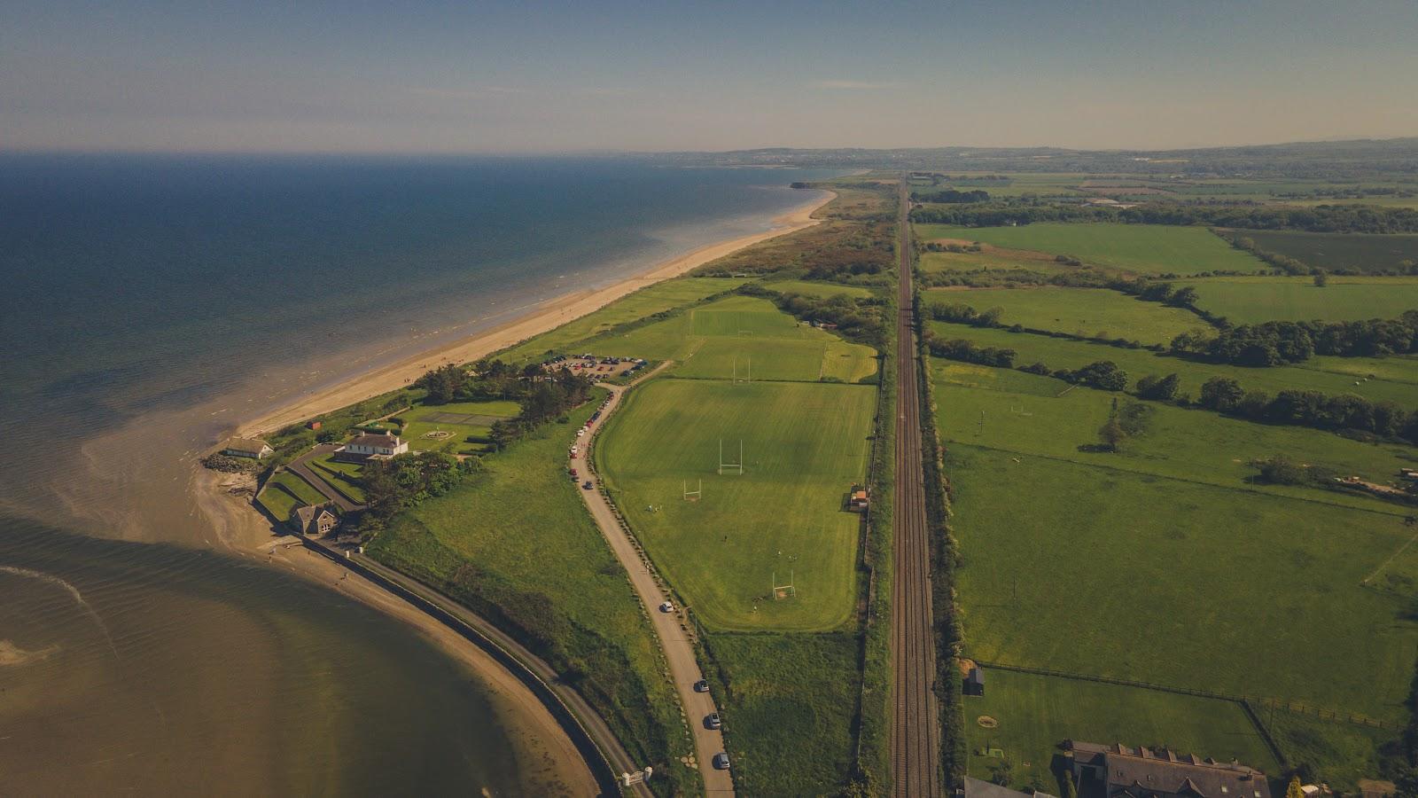 Corballis Nudist BeachBeach / strand · 1.4 mi