
What is recorded here
Located in level ground this is a flat-topped elongated mound (Top: L 10m; Wth 7.5m; Base: L 22m) with a flat-bottomed fosse (Wth 5.7m; D 1.25-1.5m) enclosing the north side. There are indications of an intervening berm (Wth 2m). The fosse stops abruptly in the S where the ground is uneven indicating the possible presence of a bailey (Healy 1975, 26; Flanagan 1984, 24). Geophysical survey (Licence no. 12R0028) was undertaken to define the limits of the motte and bailey. Three potential structures, possible pit-type features and burnt/fired remains were identified to the south of the motte (Nicholls 2012, 3).
Located in level ground this is a flat-topped elongated mound (Top: L 10m; Wth 7.5m; Base: L 22m) with a flat-bottomed fosse (Wth 5.7m; D 1.25-1.5m) enclosing the north side. There are indications of an intervening berm (Wth 2m). The fosse stops abruptly in the S where the ground is uneven indicating the possible presence of a bailey (Healy 1975, 26; Flanagan 1984, 24). Geophysical survey (Licence no. 12R0028)…
From the National Monuments Service (Archaeological Survey of Ireland) record DU012-034
The monument record does not grant public access. Check the route and ask the landowner before entering private land.
- What survives
- Recorded monument
Places near here
Black WoodWood · 524 yd Seamount HouseGate lodge · 626 ydSeamount HouseHouse · 689 ydEarthwork in Malahide,robswallsEarthwork · 831 ydMalahide BeachBeach / strand · 1503 ydMalahide Castle Demesne Church (Ruin)Ruins · 1560 ydMalahide CastleCastle, tower house · 1616 ydMalahide CastleHeritage attraction · 1617 ydThe Southern Cross MonumentMonument · 1690 ydCasino Model Railway MuseumMuseum · 1.0 miSt Catherine's WellSpring · 2.0 miDonabate BeachBeach / strand · 2.1 mi
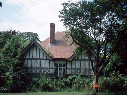 Seamount HouseGate lodge · 626 yd
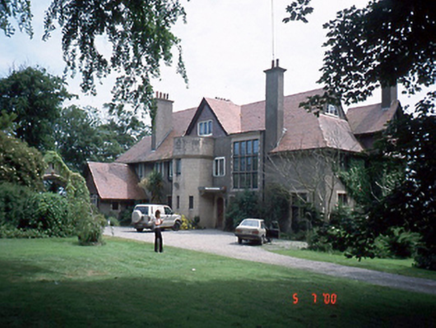 Seamount HouseHouse · 689 ydEarthwork in Malahide,robswallsEarthwork · 831 yd
 Malahide BeachBeach / strand · 1503 yd
 Malahide Castle Demesne Church (Ruin)Ruins · 1560 yd
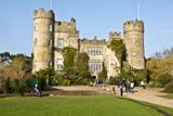 Malahide CastleCastle, tower house · 1616 yd
 Malahide CastleHeritage attraction · 1617 yd
.jpg/250px-The_%22Southern_Cross%22_Monument_at_Portmarnock_Beach_-_Also_Known_As_%22Eccentric_Orbit%22_erected_1999_(3498852886).jpg "Photo: William Murphy, Wikimedia Commons · CC BY-SA 2.0") The Southern Cross MonumentMonument · 1690 yd
The Southern Cross MonumentMonument · 1690 yd.jpg/250px-Fry_Collection_and_Model_Railway_To_Be_Located_Here_(7119020857).jpg "Photo: William Murphy from Dublin, Ireland, Wikimedia Commons · CC BY-SA 2.0") Casino Model Railway MuseumMuseum · 1.0 mi
Casino Model Railway MuseumMuseum · 1.0 mi_-_20190511182101.jpg/250px-County_Dublin_-_St_Catherine's_Well_(Malahide)_-_20190511182101.jpg "Photo: Jonjobaker, Wikimedia Commons · CC BY-SA 4.0") St Catherine's WellSpring · 2.0 mi
St Catherine's WellSpring · 2.0 mi Donabate BeachBeach / strand · 2.1 mi
Pictures: National Inventory of Architectural Heritage; Peter Gerken, Geograph · CC BY-SA 2.0; DiKey, Wikimedia Commons · CC BY-SA 4.0; William Murphy from Dublin, Ireland, Wikimedia Commons · CC BY-SA 2.0; Jonjobaker, Wikimedia Commons · CC BY-SA 4.0; William Murphy, Wikimedia Commons · CC BY-SA 2.0
More castles and forts in County Dublin · All of County Dublin
What do you know about this place?