
What is recorded here
In pasture, 185m E of a townland boundary with Ballygrennan. Not depicted on OSi historic mapping. Identified during topsoil-stripping on the Bord Gáis Éireann Pipeline to the West (Grogan et. al. 2007, 261). Excavated in 2002 by Brian Halpin under Licence No. 02E1082 and described as a small, roughly…
Read the whole record
From the National Monuments Service (Archaeological Survey of Ireland) record LI030-149
Places near here
Photo credits
- National Inventory of Architectural Heritage
- Kmcnamee, Wikimedia Commons · CC BY-SA 4.0
- Maker not stated on source page, www.flickr.com
- SteveODowd, Wikimedia Commons · CC BY-SA 4.0
- Maker not stated on source page, nigelborrington.com
- Dromin Athlacca Banogue club; individual photographer not named, drominathlaccabanogue.clubzap.com
- Colin Park, Geograph · CC BY-SA 2.0
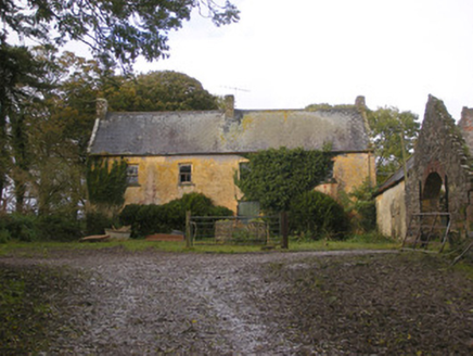 Dollas HouseFarm house · 1697 yd
Explorer Tom Dollas House in Dollas Upper has a shortcut that leads nowhere but trouble. The windows are crooked, so the house must…
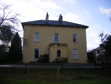 The Old RectoryRectory/glebe/vicarage/curate's house · 1.1 mi
Explorer Tom The Old Rectory in Anhid West started because two lads bet in the pub that they could build it faster than the sun…
 Anhid HouseHouse · 1.1 mi
Explorer Tom Anhid House in Anhid is trying to explain the 1800s to a teenager who thinks uPVC windows are high art. It’s got that…
 Páirc Na nGael Cromadh, CroomGAA ground · 1.2 mi
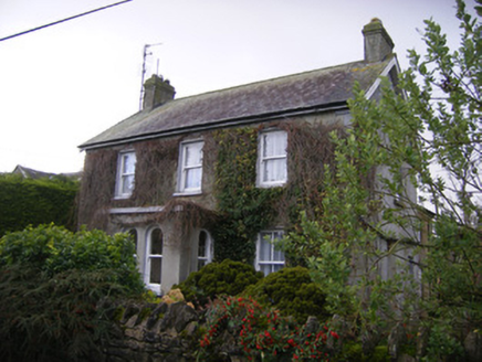 teacher's house1.3 mi
Explorer Tom Teacher's house in Dohora is proud of its porch, which it thinks is actually a very important architectural statement…
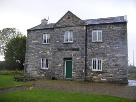 The Old School HouseSchool · 1.3 mi
Explorer Tom The Old School House in Dohora is where a poet fell into a ditch while reciting about clouds. He came out muddy but…
 Church (in ruins)Church · 1.3 mi
Explorer Tom Morenane Church in Limerick had a fiddler who played all night until the ivy grew thick enough to silence him. Only one…
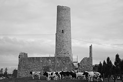 Dysert AenghusaHeritage attraction · 1.8 mi
Explorer Tom Dysert Oenghusa near Croom brings a round tower, a ruined church and a graveyard together in one quiet Limerick field…
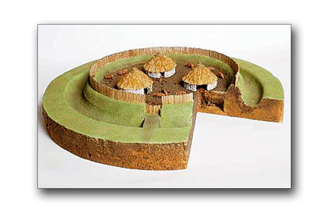 Fairy fort / earthen ringfort in Liskennett EastFairy fort / earthen ringfort · 1.8 mi
Explorer Tom Fairy fort / earthen ringfort in Liskennett East has been levelled flat, probably because it hated the Dublin tourists.…
Fairy fort / earthen ringfort in Liskennett WestFairy fort / earthen ringfort · 1.9 miExplorer Tom Fairy fort / earthen ringfort in Liskennett West is covered in overgrowth, keeping its secrets safe from the wood next…
 Banogue GAA pitchGAA ground · 2.4 mi
 KnockfeerinaMountain / peak · 3.5 mi
Explorer Tom Knockfeerina thinks the road leading to it is too fancy for a humble peak, so it pretends not to be there. It has a…
More archaeology and monuments in County Limerick · All of County Limerick

What do you know about this place?Tap to add a comment or ask a question