What is recorded here
Liskennett East lost its fairy fort to the plough, erasing a twenty-metre circular enclosure that once dominated the NNE-facing hillside. The 1924 map captured the embankment before human impatience removed it, leaving only smooth pasture where a boundary between worlds stood. What seemed like progress was actually theft, taking a visible marker of ancient occupancy and replacing it with nothing but grass.
In pasture, on NNE-facing hillside. Monument, depicted as embanked circular enclosure (diam. c. 20m) on 1924 OS 6-inch map, has been levelled. No trace of monument evident when inspected.
Compiled by: Denis Power
Date of upload: 26 August 2011
The monument record does not grant public access. Check the route and ask the landowner before entering private land.
- What survives
- Recorded monument
Places near here
 Lissyfine - Hachured (1924).Fairy fort / stone ringfort · 834 yd
 Burial Gd. for ChildrenChildren's burial ground · 1245 yd
 Abbey (in ruins) (1924).Religious house, unclassified · 1505 yd
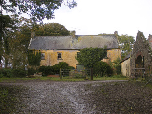 Dollas Housefarm house · 1.1 mi
 Castle (in ruins)Castle, unclassified · 1.3 mi
 Kilmacow Ho.Bawn · 1.5 mi
 KnockfeerinaMountain / peak · 1.9 mi
 Kinnoor WellSpring · 2.3 mi
 Famine stoneMemorial · 2.5 mi
 Dysert AenghusaHeritage attraction · 3.1 mi
 European ashEuropean ash · 3.4 mi
 Biodiversity in the Maigue CatchmentVisitor information · 3.6 mi