
What is recorded here
In area of waste ground between road to NW and working quarry to SE. No evident surface remains of burial ground in area strewn with stones and overgrown with thistle, nettles etc. though area (c. 10m NE-SW; c. 8m NW-SE) where site marked on OS 6-inch map relatively free of overgrowth. Mound of earth (H c. 1.2m) to NE probably spoil from quarry.
Compiled by: Denis Power
Date of upload: 26 August 2011
A local ancient tomb; wider significance not recorded.
The monument record does not grant public access. Check the route and ask the landowner before entering private land.
- What survives
- Recorded monument
Places near here
 Enclosure in Kilmore DemesneEnclosure · 1230 yd
 Kilmore Housecountry house · 1296 yd
 Castle (in ruins)Castle, unclassified · 1368 yd
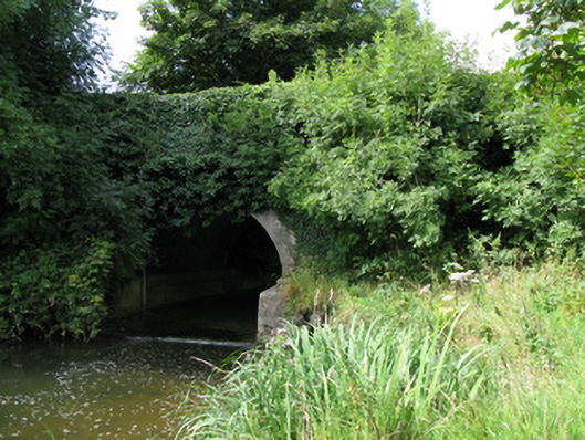 bridgebridge · 1434 yd
 Mound in KilmoreMound · 1495 yd
 CastleCastle, unclassified · 2.0 mi
 KnockfeerinaMountain / peak · 2.6 mi
 Kinnoor WellSpring · 2.7 mi
 European ashEuropean ash · 3.0 mi
 Dysert AenghusaHeritage attraction · 3.1 mi
 Famine stoneMemorial · 3.2 mi
 Biodiversity in the Maigue CatchmentVisitor information · 3.3 mi
Other information
Photo: Credit not shown in the picture search · Rights wording not checked; contact us if this picture should be removed